
What is recorded here
Described in 1979 as 'The cross marked as on roadside is no longer there. This cross is labelled on the Foras Forbartha list as 'The Plunkett Coss' ' (SMR file). Cross shown on 1910 ed. OS 25-inch map but not indicated on the 1837 ed. OS 6-inch map.
Compiled by: Caimin O'Brien
The monument record does not grant public access. Check the route and ask the landowner before entering private land.
- What survives
- Recorded monument
Places near here
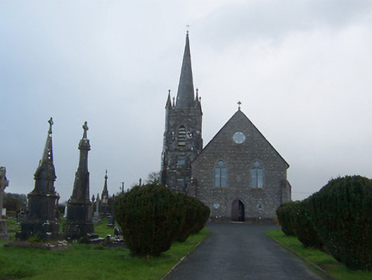 Saint Agnes's Catholic Churchchurch/chapel · 1520 yd
 Ecclesiastical site in CrossanstownEcclesiastical site · 1558 yd
 Enclosure in Hightown or BalloughterEnclosure · 1620 yd
 Heathstown CastleCastle, tower house · 1.1 mi
 Griffinstown Housedemesne walls/gates/railings · 1.4 mi
 CastleCastle, unclassified · 2.1 mi
 Rahin WoodsForest · 7.4 mi
 Roundhill WoodForest · 7.5 mi
 Croppies' GraveMemorial · 8.0 mi
 OutlinedFairy fort / earthen ringfort · 1.1 mi
 Hut site in BallinlaHut site · 1.1 mi
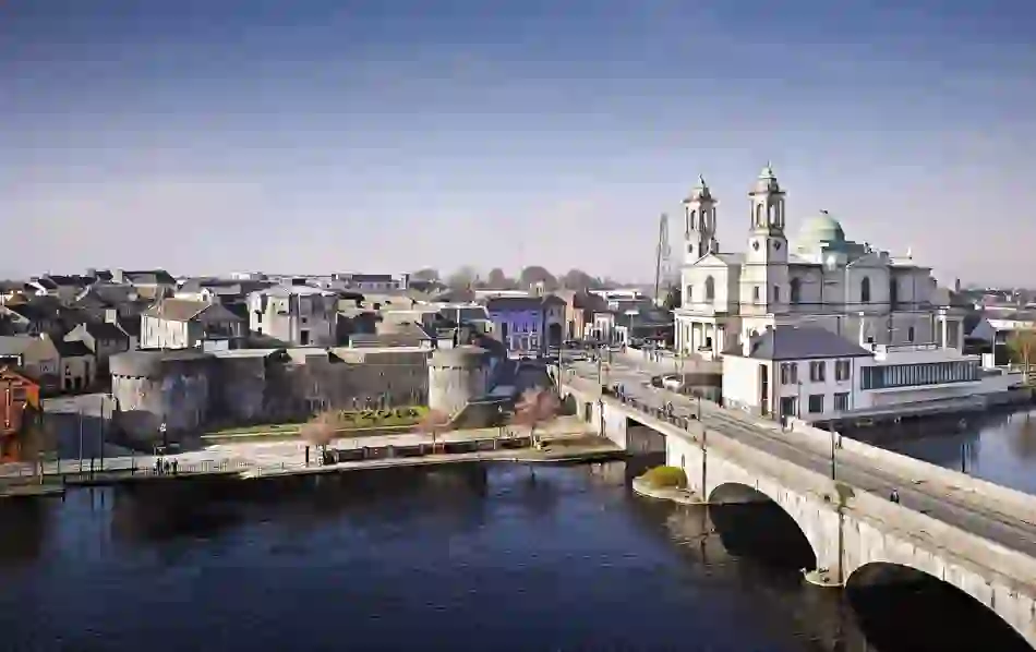 Man-made underground passage in BanagherMan-made underground passage · 1.3 mi
Other information
Photo: Credit not shown in the picture search · Rights wording not checked; contact us if this picture should be removed