
What is recorded here
Situated on gentle E-facing slope, in undulating pasture, with extensive views to N, E and SE. Monument described in 1971 as located in the NW quadrant of a ringfort (WM027-037----) there is a subrectangular-shaped house site (dims. L 2.2m; Wth 2.6m) defined by a slight earthen bank (H 0.45m). The S end of the house site is open. A subsequent field report from 1977, describes the interior of the ringfort as having recently been bulldozed and only a small segment in the N and S sectors remain undisturbed. No surface remains visible today of levelled ringfort or house site on Digital Globe aerial photography.
Compiled by Alison McQueen, Vera Rahilly and Caimin O’Brien.
Date of upload: 06 November 2019
The monument record does not grant public access. Check the route and ask the landowner before entering private land.
- What survives
- Recorded monument
Places near here
 Ecclesiastical site in CrossanstownEcclesiastical site · 314 yd
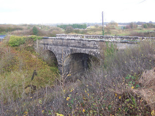 bridgebridge · 987 yd
 Footy's Bridgebridge · 1020 yd
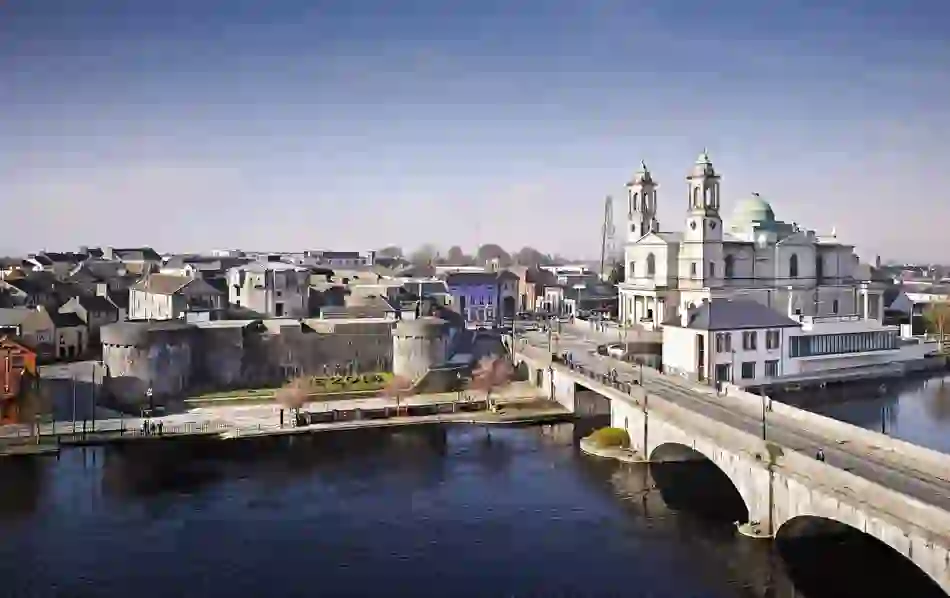 Man-made underground passage in BanagherMan-made underground passage · 1450 yd
 CastleCastle, unclassified · 1.0 mi
 Heathstown CastleCastle, tower house · 1.1 mi
 Abandoned Kinnegad CanalWood · 6.9 mi
 ScregganWood · 7.0 mi
 Croppies' GraveMemorial · 7.9 mi
 25th Locklock · 1022 yd
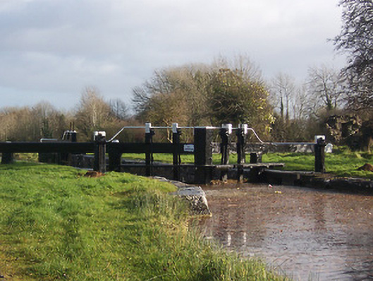 24th Locklock · 1077 yd
 23rd Locklock · 1211 yd
Other information
Photo: Credit not shown in the picture search · Rights wording not checked; contact us if this picture should be removed