What is recorded here
The outline of a small rectangular building presumably a church standing in the centre of the graveyard (WM027-066001-) is depicted on the 1837 ed. OS 6-inch map. This church was described in 1976 as 'Within the small graveyard (WM027-066001-) enclosure only a portion of the S wall (L 10m; Wth 5m; T 0.85m) of the…
Read the whole record
From the National Monuments Service (Archaeological Survey of Ireland) record WM027-066005
Places near here
Photo credits
- Dylan Moore, Geograph · CC BY-SA 2.0
- MookiePlays, Wikimedia Commons · CC BY-SA 4.0
- National Inventory of Architectural Heritage
- Royalcanalrunner, Wikimedia Commons · CC BY-SA 4.0
- Scaramanga731, Wikimedia Commons · CC BY-SA 4.0
- Robin Pollard, Wikimedia Commons · CC BY 3.0
- Malene Thyssen, Wikimedia Commons · CC BY-SA 3.0
- Alvesgaspar, Wikimedia Commons · CC BY-SA 3.0
 Bawn in RattinBawn · 1421 yd
 Rattin CastleCastle, tower house · 1428 yd
 bridge1679 yd
 Griffinstown HouseCountry house · 1.5 mi
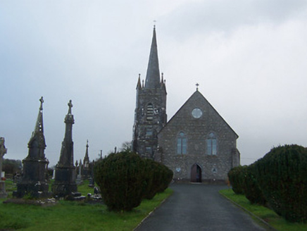 Saint Agnes's Catholic ChurchChurch/chapel · 2.2 mi
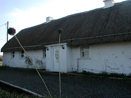 farm house2.8 mi
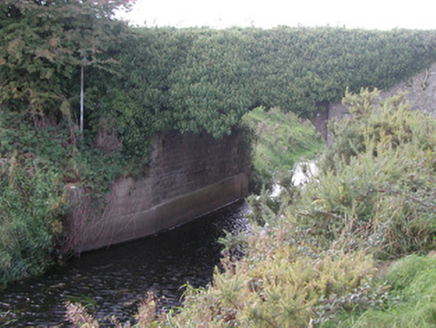 Baltinoran BridgeBridge · 2.8 mi
Explorer Tom Baltinoran Bridge in Carrick has been hiding a scandal where the river moved, and nobody checked with the bridge first. Now it stands over a new path, looking slightly confused by its own history. If anyone asks, blame the drainage scheme.
 Footy's BridgeBridge · 2.8 mi
 25th LockLock · 2.9 mi
 Croppies' GraveMemorial · 7.5 mi
 European Beech10 mi
Explorer Tom European Beech in County Meath is sick of people asking if it talks to the other trees; yes, they gossip, shut up. It’s got that tired look of someone who’s heard every question before. Bring a flask of something warm and a story to swap.
 Common Lime11 mi
Explorer Tom Common Lime in County Meath once hid a crate of smuggled whiskey in its roots during a particularly rainy century. The bark still smells faintly of rum and bad decisions. Go back in winter, it's a different animal.
More historic places in County Westmeath · All of County Westmeath

What do you know about this place?Tap to add a comment or ask a question