What is recorded here
Knockordan is a place where the bawn vanished because people stopped remembering the boundary it protected. Thomas Baker may have lived there, but forgetfulness removed the wall, gate and castle from the field. The land did not lose a building; it lost the chance to keep one.
According to the Civil Survey (1654-6) in 'Knockordane', which was under the proprietorship of ‘Sr John Magrath of Allyvollane Irish Papist Thomas Baker’ in 1640, ‘Upon the s[ai]d lands stands a bournt castle with a little Bawne wanting repayre' (Simington 1934, vol. 2, 60). This castle (TS066-152001-) and bawn are unlocated within the townlands of Knockordan and Mooresfort.
Compiled by: Jean Farrelly
Date of upload: 22 Janurary 2013
The Bawn in Mooresfort, Knockordan was associated with Sir John Magrath, an Irish Papist, in the mid-17th century. It is remembered as part of the landscape of early modern Irish landholding and conflict, noted in the Civil Survey of 1654–5.
The monument record does not grant public access. Check the route and ask the landowner before entering private land.
- What survives
- Recorded monument
Places near here
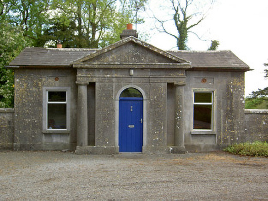 Mooresfort Housegate lodge · 43 yd
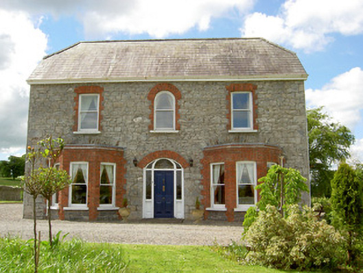 Saint Joseph'shouse · 1127 yd
 CastleCastle, ringwork · 1128 yd
 Enclosure in Lattin WestEnclosure · 1.0 mi
 Ladys WellHoly well · 1.0 mi
 MoatCastle, motte · 1.6 mi
 SlievenamuckMountain / peak · 2.5 mi
 Carn (site of)Cairn, burial cairn · 3.0 mi
 Bansha ForestForest · 3.4 mi
 Duntryleague HillMountain / peak · 3.6 mi
 Darby's Bed Walk LoopWalking route · 3.6 mi
 Giant's Rock - Rock of AglaishNamed rock · 5.2 mi