
What is recorded here
There is no mention of a castle or bawn in Graiguepadeen in the Civil Survey (1654-6) when Pierce Butler of Callan, Co. Kilkenny is listed as proprietor of the lands in 1640 (Simington 1931, vol. 1, 121). It is situated on top of natural rock outcrop at the N end of a N-S ridge with good extensive views in all directions. The bawn (ext. dims. N-S 11m x E-W 8m; wall T 1.3m) is located S of an L-plan fortified house (TS042-018----). There are concrete walls constructed up against the inner face of the S wall of the bawn. The bawn wall projects westward from the NW angle of the house for a distance of 2.95m and returns southward for a distance of 11m and then E for a distance of 8m but elsewhere it is destroyed. The bawn wall probably returned onto the external E face of the house to the N of the main ground-floor doorway or onto the NE angle of the house. The N side of the house may not have been enclosed by the bawn but was possibly afforded some protection by the natural fall of ground on this side.
Compiled by: Jean Farrelly
Date of upload: 26 August 2011
The monument record does not grant public access. Check the route and ask the landowner before entering private land.
- What survives
- Recorded monument
Places near here
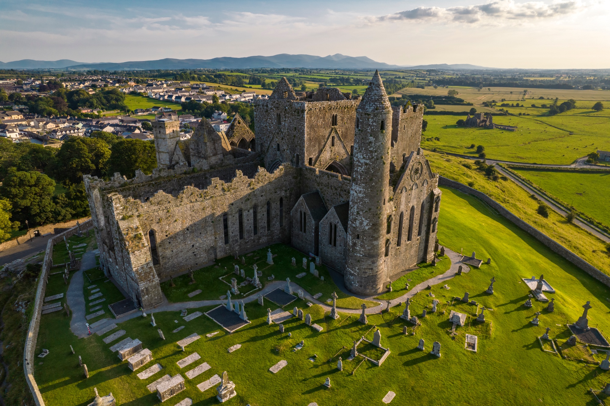 RathkianFairy fort / earthen ringfort · 746 yd
 RoadRoad, unclassified togher · 1142 yd
 IndicatedEnclosure · 1211 yd
 Longfordpass BridgeBridge · 1386 yd
 Site of CastleCastle, unclassified · 1444 yd
 Fennor Castle (in Ruins)Castle, unclassified · 1.3 mi
 Kilcooly AbbeyHeritage attraction · 3.4 mi
 KilcooleyForest · 3.5 mi
 Serpentine WoodForest · 3.9 mi
 John HelyMemorial · 4.2 mi
 DelaneyMemorial · 4.3 mi
 Bregaun HillMountain / peak · 5.0 mi
Other information
Photo: Credit not shown in the picture search · Rights wording not checked; contact us if this picture should be removed