
What is recorded here
The inner bank of a moated site (GA097-051001-) is composed mainly of earth but it is topped with a stone wall that may be the remains of a bawn wall associated with the tower house (GA097-051----), which overlies its SE corner. Wall revetment is visible intermittently on both faces of the bank and is best preserved along the S side where a continuous stretch is visible for a length of 11m. Here the wall (Wth 1.3m; H 0.3m) is constructed of large blocks of limestone inner and outer facing stones and a rubble core. A later field wall runs along the N two-thirds of the W bank and the W end of the N bank.
Compiled by: Galway Archaeological Survey, UCG
Date of upload: 2 December 2019
This monument is subject to a preservation order made under the National Monuments Acts 1930 to 2014 (PO no. 5/1991).
The monument record does not grant public access. Check the route and ask the landowner before entering private land.
- What survives
- Recorded monument
Places near here
 Enclosure in Cahernamuck WestEnclosure · 39 yd
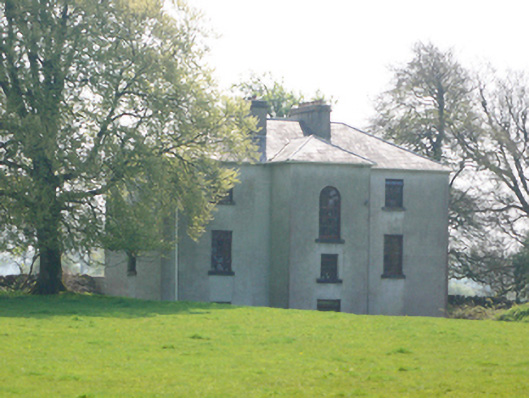 Lynchfort Househouse · 415 yd
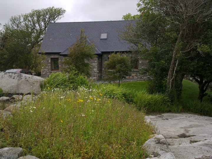 Man-made underground passage in Cahernamuck WestMan-made underground passage · 551 yd
 Raruddy Castle (in ruins)Castle, tower house · 1032 yd
 Old Mill[Mill, corn · 1.1 mi
 Ballygasty Castle in ruinsCastle, unclassified · 1.1 mi
 Turoe StoneHeritage attraction · 2.1 mi
 Barrack IslandIslet · 2.1 mi
 Middle IslandIslet · 2.2 mi
 Long PointHeadland · 3.0 mi
 Dartfield Horse MuseumHeritage attraction · 4.5 mi
 Scalpeen RockNamed rock · 7.3 mi
Other information
Photo: Credit not shown in the picture search · Rights wording not checked; contact us if this picture should be removed