What is recorded here
Depicted as a rectangular embanked enclosure with four lozenge-shaped corner bastions on the 1840 ed. of the OS 6-inch map, it is situated on a rise planted with a cereal crop overlooking a S-N stream to the W and N. The fort is thought to date to the Elizabethan (Poole 1928) or Cromwellian period (Carroll 1976a, b),…
Read the whole record
From the National Monuments Service (Archaeological Survey of Ireland) record WA017-012001
Places near here
Photo credits
- National Inventory of Architectural Heritage
- Maker not stated on source page, www.gettyimages.co.nz
- RTG, Wikimedia Commons · CC BY-SA 4.0
- Maker not stated on source page, www.pinterest.com
- Maker not stated on source page, www.youtube.com
- Maker not stated on source page, www.alamy.com
- David Hawgood / Geograph Britain and Ireland, commons.wikimedia.org
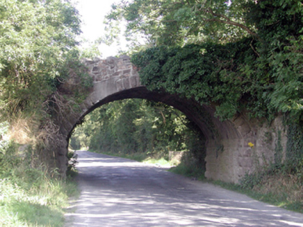 Historic buildingOfficially recorded historic building · 262 yd
Explorer Tom Historic building in Ballyhoo Duagh was built with so much tea it’s practically steeped in history, Tom claims with a…
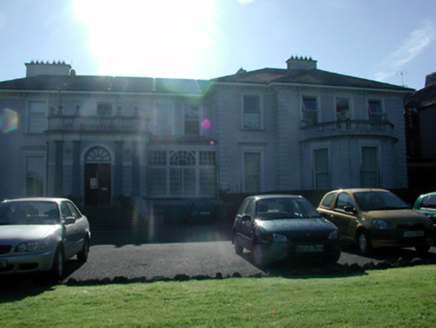 Grace DieuHouse · 1271 yd
Explorer Tom Grace Dieu in Ballindud has extremely strong opinions about modern buildings and has been grumbling about them since…
 Ballinamona HouseGate lodge · 1.1 mi
Explorer Tom Ballinamona House is a gate lodge that thinks it’s the main event, even though it’s really just the doorman for a much…
 Church (in ruins)Church · 1.1 mi
Explorer Tom Church in Knockeen is run by a dog that hasn't been fed since 1615, apparently. Only two walls are left, which is…
 DolmenPortal tomb · 1.1 mi
Explorer Tom Knockeen Dolmen would give its visitors two stars because they kept stepping on its toes. It’s built right into the…
 Knockeen Portal TombArchaeological place · 1.1 mi
Explorer Tom Knockeen Portal Tomb inspired a bad poem once that rhymed 'stone' with 'home', which honestly wasn't even that great a…
 Standing stone in BallindudStanding stone · 1.2 mi
Explorer Tom Standing stone in Ballindud has had more names than a reality star. It finally fell over in 2011, probably because it…
 CastleCastle, unclassified · 1.2 mi
Explorer Tom Castle in Ballycashin is rumored to have been built by a giant who got lost on the way to Dublin. It’s on a list from…
 Kilbarry CemeteryCemetery · 1.5 mi
Explorer Tom Kilbarry Cemetery has developed a serious case of the jitters regarding the postman, suspecting he’s delivering bills…
 Holy well in Kill St. LawrenceHoly well · 1.7 mi
Explorer Tom Holy well in Kill St. Lawrence is so unlocated that it might as well be on another planet entirely. A tragic love story…
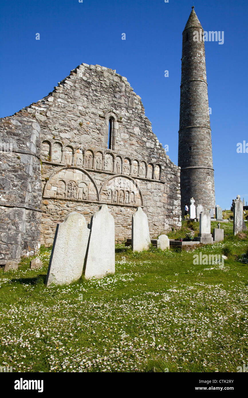 Butlerstown Church CemeteryGraveyard · 1.9 mi
Explorer Tom Butlerstown Church Cemetery would write on its dating profile: 'Steady, historic, and slightly damp, but worth it.'…
 Butlerstown GAA pitchGAA ground · 2.3 mi
More archaeology and monuments in County Waterford · All of County Waterford

What do you know about this place?Tap to add a comment or ask a question