What is recorded here
In pasture, on gentle N-facing slope. Identified on aerial photograph (GSI S.637/8, 16.4.1974). A circular area (dims. 20m N-S; 17m E-W) defined by low profile earthen scarp (Wth 0.2m; ext. H 0.15m) and an intervening fosse (basal Wth 2m; overall Wth 7m; D 0.2m). Generally level area/berm (Wth 5m) outside intervening fosse and slight trace of a wider circular area (overall dims. 50m N-S; 52m E-W) defined by an outer fosse (Wth 11m; D 0.15m). Truncated by drainage ditch and field boundary) SW-W-NW.
Compiled by: Jean Farrelly
Date of revised upload: 3 December 2014
Stepped barrow, likely dating to the Early Bronze Age. This type of monument is significant as it represents an early form of burial mound construction in Ireland, often associated with ritual and social practices of the period.
The monument record does not grant public access. Check the route and ask the landowner before entering private land.
- What survives
- Recorded monument
Places near here
 IndicatedFairy fort / earthen ringfort · 1042 yd
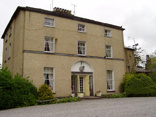 Clonacody Housecountry house · 1128 yd
 Enclosure in ClonacodyEnclosure · 1142 yd
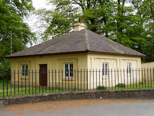 Lakefieldgate lodge · 1573 yd
 CastleCastle, motte · 1631 yd
 (Site of) Killerk CastleCastle, unclassified · 1664 yd
 Pedunculate OakPedunculate Oak · 1722 yd
 Grove WoodForest · 1.8 mi
 East GateMemorial · 2.6 mi
 Kilknockan HillMountain / peak · 3.8 mi
 CarrickbrockMountain / peak · 4.9 mi
 Enclosure in Jossestown,killerk NorthEnclosure · 1159 yd