
What is recorded here
In flat pasture on broad ridge in gently undulating terrain. Well-preserved univallate ringfort. Roughly circular area (diam. 44m N-S; 48.7m E-W) enclosed by a broad, high bank (Wth 2.8m crest, 7.6m base; int. H 1.17m; ext. H 2.72m) and wide shallow fosse (Wth 2.9m; D 0.86m), waterlogged along W side. Trees growing on bank. Interior grass-covered with some nettles. Portion of bank removed in NW quadrant where two field boundaries meet. Break (Wth 2m) in bank in SSW quadrant, the fosse appears to have been filled up with a later fosse immediately SSW and a modern, stone revetted, causeway with drain built across the latter. Post and barbed wire fence runs along top of bank in N quadrant. External fosse in N quadrant has a sharp profile, possible re-cut. Bank in NE sector has been levelled and external fosse filled in, field bank runs NNW-SSE up to N side of this break. Bank denuded at SSE but not broken through.
Compiled by: Jean Farrelly
Date of upload: 26 August 2011
The monument record does not grant public access. Check the route and ask the landowner before entering private land.
- What survives
- Recorded monument
Places near here
 Enclosure in ClonacodyEnclosure · 1568 yd
 Church (in Ruins)Church · 1604 yd
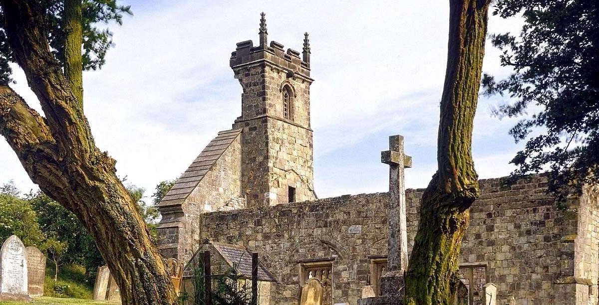 Settlement desertedSettlement deserted, medieval · 1656 yd
 CastleCastle, motte · 1.2 mi
 Catholic Church of Saint John the Baptistchurch/chapel · 1.2 mi
 Castle (in ruins)Castle, tower house · 1.3 mi
 Pedunculate OakPedunculate Oak · 1.5 mi
 Persian WalnutPersian Walnut · 2.4 mi
 East GateMemorial · 3.1 mi
 Kilknockan HillMountain / peak · 4.3 mi
 Enclosure in Jossestown,killerk NorthEnclosure · 1.2 mi
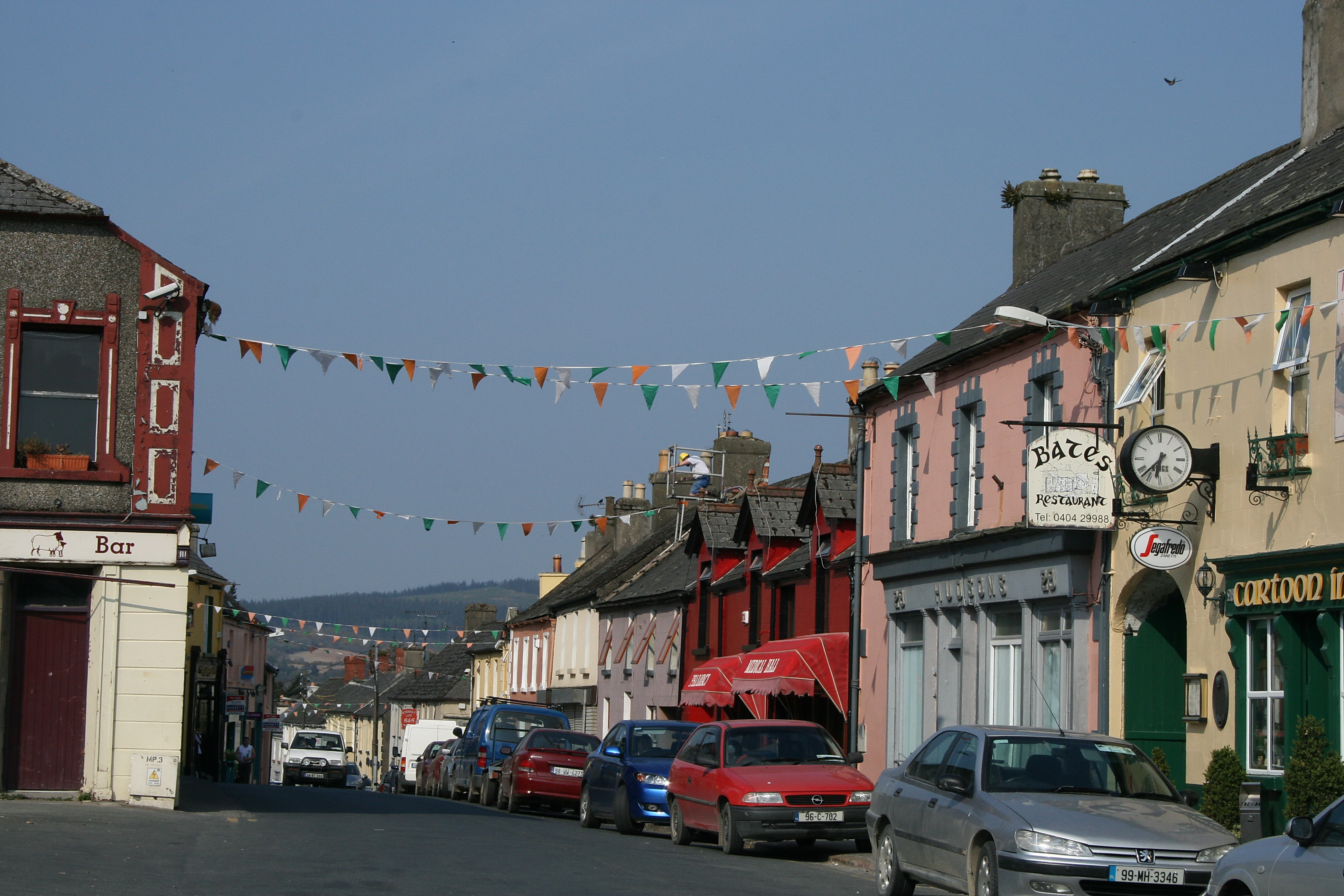 (Site of) TemplemurryChurch · 1.2 mi
Other information
Photo: Credit not shown in the picture search · Rights wording not checked; contact us if this picture should be removed