What is recorded here
Monument surveyed in 2015 and described by McGuinness (2015, 72) as following: ‘Monument could not be seen from the roadside, and landowners later informed the survey-team that they could never see anything at the location marked. Although it could not be located on 26/7/79 due to high grass, it has been described on two subsequent occasions by different ASI fieldworkers. The account of 7/4/81: A small circular earthwork outlined by a shallow circular fosse enclosing a level interior. There is no indication of a bank. The site slopes very slightly from NE-SW. The area around the site is crossed by old cultivation ridges running NE-SW, & the site has been somewhat defaced by these. It is likely that any trace of a bank would have been removed by the cultivation. Sited on the top of a large prominent natural ridge running NW-SE. The ridge has a broad flat top. Located in pasture land with other ridges to the E, S & W, but with low lying bog to the N & NW.... [SMR file] And that of 1997: The site is located on top of a low rise with excellent views over bogland towards Lough Sheelin to the north-west. Condition: Poor. The site is very difficult to make out. The site is now under pasture. Description: The site consists of the remains of a ring-barrow. It consists of a low circular mound, c. 5m-5.2m in diameter and c. 20cms in height, surrounded by a fosse. The fosse has an overall width of c. 1.8m. Its base is 20cms in depth beneath external ground level. [SMR file] An undated, very abbreviated account which appears not to be based on a site visit describes it simply as a ‘small low circular mound of earth is delimited by a shallow fosse which in turn is surrounded by a low earthen bank’ [SMR file]. This account, though it mentions an outer bank, should probably be rejected in favour of those descriptions clearly based on a site visit. From these accounts, this tiny earthwork placed atop a ‘large prominent natural ridge‘ with ‘excellent views over bogland towards Lough Sheelin to the north-west’, might be interpreted as a ring-barrow with the bank flattened by past cultivation. If there never was a bank, the level interior raised 0.2m above ground level, which can be gathered from the 1981 and 1997 accounts suggests that this monument might be either a type of ring-barrow with no external bank or a ditch-barrow, a type more recently identified by ASI fieldworkers’.
Compiled by: Caimin O'Brien based on details provided by David McGuinness.
Date of upload: 10 February 2016
The monument record does not grant public access. Check the route and ask the landowner before entering private land.
- What survives
- Recorded monument
Places near here
 Tullystown Househouse · 196 yd
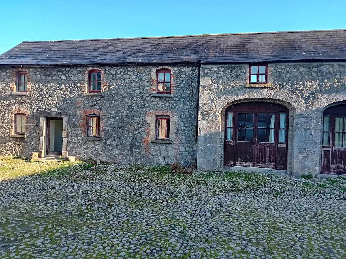 Bawn in TullystownBawn · 237 yd
 OutlinedFairy fort / earthen ringfort · 275 yd
 IndicatedFairy fort / earthen ringfort · 937 yd
 Ballynascarry Housefarm house · 1086 yd
 CastleCastle, motte · 1.1 mi
 MullaghmeenMountain / peak · 1.2 mi
 Fox CovertForest · 1.4 mi
 Mullaghmeen White WalkWalking route · 1.5 mi
 Ross BayBay · 1.6 mi
 Muldarry PointHeadland · 1.6 mi
 Mullaghmeen Red WalkWalking route · 1.8 mi