What is recorded here
Monument surveyed in 2015 and described by McGuinness (2015, 70-1) as following: ‘Heavily eroded ring-barrow (Diam. 26.1m N-S x 29.5m E-W) in very low relief, comprising a low roughly circular domed mound (Diam. 13.9m N-S x 13.5m E-W) surrounded by a shallow, poorly defined ditch, and an external bank that is broad, almost flattened and difficult to discern. Where best preserved, ditch is sunk 0.4m below mound and 0.22m below bank. There is an old beech growing in ditch at SSE; part of the stump of a second with saw marks lies at interface of mound and ditch at NW, the ground has been disturbed here, presumably when the tree collapsed or was felled. Barrow caps or is shaped from a low eminence (kame?) 90m W of a kettle-hole lake, in undulating pasture immediately N of the Royal Canal, just S of which again passes the main railway from Dublin to Sligo. Monument forms part of a loose grouping of four ring-barrows, lying c. 200m to SE of a second similar but slightly larger one in this townland (WM027-021----) and c. 500m from a third example in Porterstown (WM027-019----); a fourth ring-barrow, also in Porterstown (WM027-036----), lies across the canal c. 700m to WSW. On a gently rounded glacial hillock in Riverstown, on slightly higher ground (OD 90-100m) c. 950m to N, ploughing in 1969 uncovered a short rectangular cist containing a crouched skeleton with Early Bronze Age Bowl Food Vessel; radiocarbon assay of the bones yielded a date of 3645±30 BP, falling clearly within the date range of c. 2200-c. 1800 BC for these vessels (Ó Ríordáin 1972, 234-5; Waddell 1990, 154; Brindley 2007, 67, 74, Table 6). Although the other nearby ring-barrows are visible, overall visibility is poor in this low-lying location’.
Compiled by: Caimin O'Brien based on details provided by David McGuinness.
Date of upload: 10 February 2016
Ring-barrow, likely dating to the Early Bronze Age. This type of monument is significant as it represents a form of burial practice associated with the introduction of metallurgy and social change in Ireland.
The monument record does not grant public access. Check the route and ask the landowner before entering private land.
- What survives
- Recorded monument
Places near here
 23rd Locklock · 138 yd
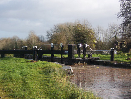 24th Locklock · 377 yd
 CastleCastle, unclassified · 821 yd
 Hut site in BallinlaHut site · 1265 yd
 Enclosure in Porterstown (napper)Enclosure · 1311 yd
 Rathwire Moat & CastleCastle, motte and bailey · 1.2 mi
 ScregganWood · 6.4 mi
 Abandoned Kinnegad CanalWood · 6.6 mi
 Croppies' GraveMemorial · 7.7 mi
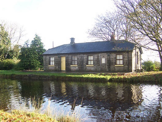 lock keeper's houselock keeper's house · 379 yd
 22nd Locklock · 466 yd
 Heatherstown Bridgebridge · 486 yd