What is recorded here
The monument was recorded as Site A9 on an Environmental Impact Statement on the N9/N10 Kilcullen to Waterford scheme: Kilcullen to Powerstown (pers. comm. N. Dunne 30-04-2015). It is described as a fairly prominent subcircular earthen mound (H 2m; diams. 20m; 18m) enclosed along the N by a possibly later fosse (Wth 3m; D 0.3m) which appears to truncate the N slope of the mound. Four mature beech trees stand on the mound. According to local tradition, the mound and surrounding fields contain the burials of rebels who died in the 1798 Rebellion.
In 2002, a geophysical survey in the vicinity revealed ditches apparently girdling and radiating from the mound.
Compiled by: Gearóid Conroy
Date of upload: 25 May 2015
A ring-barrow, likely dating to the Early Bronze Age, associated with burial practices in Ireland. Its significance lies in its contribution to understanding prehistoric funerary architecture and landscape use in the region.
The monument record does not grant public access. Check the route and ask the landowner before entering private land.
- What survives
- Recorded monument
Places near here
 CrookanurnWood · 739 yd
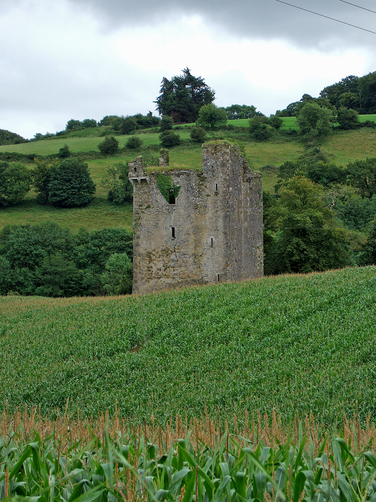 Enclosure in Crookstown LowerEnclosure · 1118 yd
 Enclosure in Narraghmore DemesneEnclosure · 1218 yd
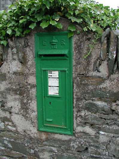 post boxpost box · 1275 yd
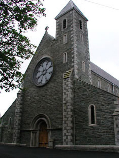 Catholic Church of Saint Mary and Saint Laurencechurch/chapel · 1313 yd
 Narraghmore Nature ReserveForest · 1.1 mi
 Blackhall CastleCastle, tower house · 2.4 mi
 Colbinstown Castle (in Ruins)Castle, unclassified · 2.4 mi
 Battle of Kilrushbattle · 3.1 mi
 Burtown House and GardensHeritage attraction · 3.4 mi
 Gorden Bennet Race memorialMemorial · 4.3 mi
 History of Moat of ArdscullVisitor information · 4.3 mi