What is recorded here
In low-lying gently undulating wet pasture. Circular slightly raised area (diam. 21m) defined by an earthen scarp (Wth 1.3-2.3m; H 0.2-0.45m). At the external base of the scarp is a fosse (Wth at base 2m; D 0.05m) an intermediate earthen bank (Wth at top 1.2-2.2m; overall Wth 3.9-7.7m; int. H 0.2-0.35m; ext. H 0.45m) and an external; fosse (overall Wth 3.3m; Wth at base 2m; D 0.15m). The scarped edge decreases slightly in height from W to E reflecting the ESE facing slope of the interior. There are two modern breaks in the intermediate bank at NE (Wth 4m) and at ENE (Wth 4.5m). The external edge of the external fosse is very faint to the S of a modern NW-SE orientated field boundary skirts external base of the intermediate bank SSE-SW. A break (Wth 5m) in the intermediate bank, with causeways across the fosses, at ESE marks the position of the original entrance. The interior slopes slightly facing ESE and is clear of overgrowth.
Compiled by: Jean Farrelly
Date of upload: 26 August 2011
Circular earthen ring-barrow, likely dating to the Early Bronze Age (c. 2000–1500 BCE). This type of monument is significant as a funerary structure associated with early ceremonial and burial practices in lowland areas.
The monument record does not grant public access. Check the route and ask the landowner before entering private land.
- What survives
- Recorded monument
Places near here
 BarrowBarrow, ditch barrow · 483 yd
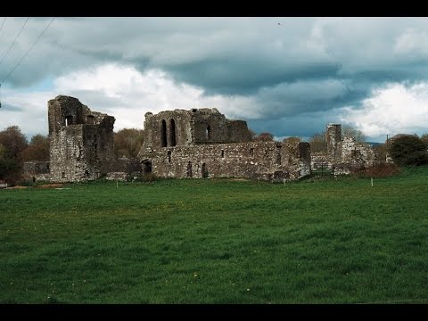 Earthwork in Ballybeg (coonagh By.)Earthwork · 511 yd
 CastleCastle, ringwork · 722 yd
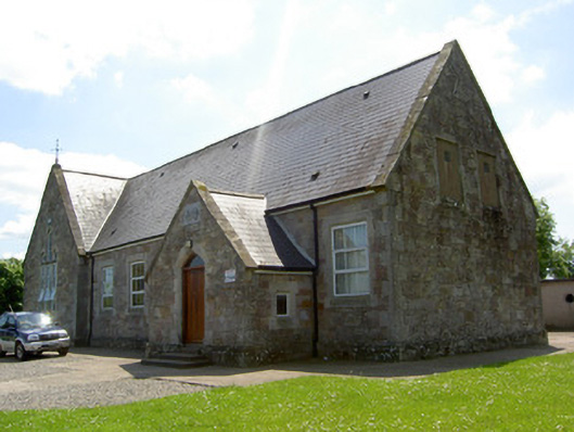 Monard National Schoolschool · 1425 yd
 Oola Castle (in ruins)Castle, tower house · 1487 yd
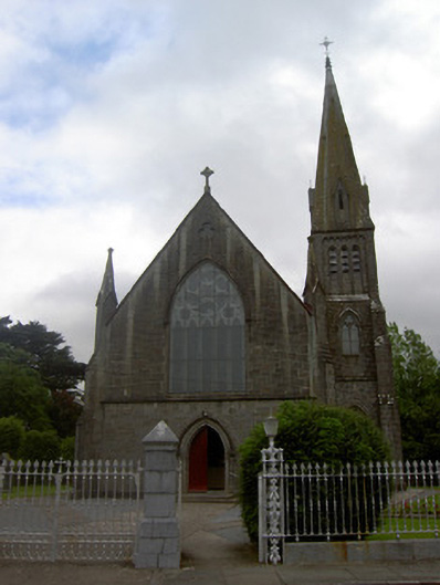 Saint Nicholas's Catholic Churchchurch/chapel · 1532 yd
 Oola HillMountain / peak · 1.2 mi
 The Maid of ErinMemorial · 4.2 mi
 ToberagaddySpring · 5.2 mi
 St. Patrick's WellSpring · 7.4 mi
 Kilteely HillMountain / peak · 7.5 mi
 Flat cemetery in Knockainy WestFlat cemetery · 10 mi