What is recorded here
In lush pasture, on a S-facing slope. Circular area (diam. 6m) defined by low profile fosse (Wth 1.7m; D 0.1m) and an outer bank (Wth 3m; int. H 0.15m; ext. H 0.05m). Interior generally same level as exterior ground level. Identified as a ring-ditch on an aerial photograph (OS 2435/6 mono). Field boundary (long-axis NE-SW) is c. 12m to N. Ditch barrow (TS066-073001-) c. 18m to E.
Compiled by: Jean Farrelly
Date of upload: 26 August 2011
A ring-barrow, likely dating to the Early Bronze Age. Its construction reflects typical burial practices of the period, featuring a circular fosse and outer bank, though its specific significance remains unrecorded.
The monument record does not grant public access. Check the route and ask the landowner before entering private land.
- What survives
- Recorded monument
Places near here
 Enclosure in LissobihaneEnclosure · 614 yd
 Field system in Ballynagrana (emly Par.),moanmore (emly Par.)Field system · 760 yd
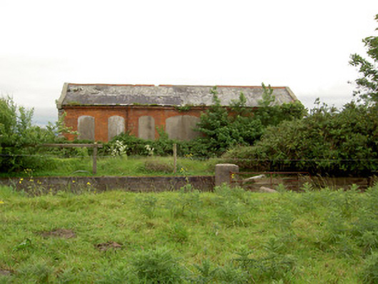 Emly Railway Stationstore/warehouse · 934 yd
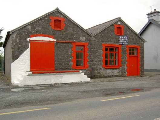 Saint Ailbe's Creamerycreamery · 1733 yd
 Carn (site of)Cairn, burial cairn · 1.7 mi
 Glebe Ho.Castle, unclassified · 1.7 mi
 Ryves CastleCastle, unclassified · 3.1 mi
 St Patrick's WellSpring · 4.0 mi
 Saint Patrick's WellSpring · 4.0 mi
 Kilteely HillMountain / peak · 5.5 mi
 Flat cemetery in Knockainy WestFlat cemetery · 5.8 mi
 SlievereaghMountain / peak · 6.4 mi