What is recorded here
On a hillock in low-lying pasture. Marked as a circular enclosure with the designation ‘Fort’ on the 1837 edition of the OS 6-inch map and as an oval earthwork on the 1914 ed. A raised oval area (37.2m NW–SE; 21.4m NE–SW) is enclosed by a shallow inner fosse (Wth 3m; D 0.5m), a low inner bank of earth and stone (Wth 2.4m; H 0.25m), an outer fosse (Wth 3.4m; D 0.25m) and an outer bank (Wth 3.4m; H c. 0.2m); the outer face of the latter has been removed. The NE quadrant of the monument has been levelled. The original entrance is not recognisable.
Compiled by: Patrick F. O'Donovan
Date of upload: 22 February 2012
A ring-barrow, likely dating to the Early Bronze Age. Its original function as a burial monument and later misinterpretation as a 'fort' reflect common misconceptions in the 19th-century understanding of prehistoric earthworks.
This remains an important historical record, but the official description says the monument is no longer visible or has been destroyed. The monument record does not grant public access. Check the route and ask the landowner before entering private land.
- What survives
- No visible remains or recorded as destroyed
Places near here
 Fulacht fia in TinnynarrFulacht fia · 1156 yd
 Enclosure in KeelogesEnclosure · 1650 yd
 Abbey (in Ruins)Religious house, Franciscan Third Order Regular · 1.1 mi
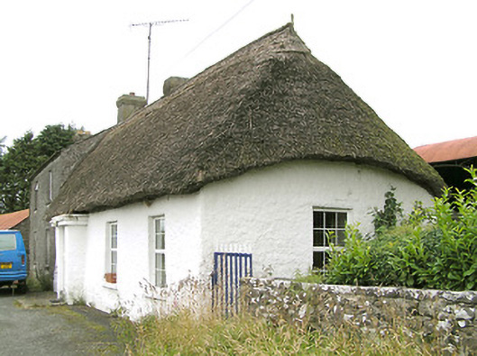 Moore's Townhouse · 1.1 mi
 CastleCastle, ringwork · 1.3 mi
 Edgeworthstown BypassMemorial · 1.5 mi
 Moat & CastleCastle, motte and bailey · 1.9 mi
 Oldtown DemesneForest · 2.1 mi
 Oldtown CopseWood · 2.1 mi
 Clonfin Ambush MemorialMemorial · 4.8 mi
 National Famine WayWalking route · 5.7 mi
 Granard MotteMotte-and-bailey castle remains · 7.8 mi