What is recorded here
On a S-facing slope in upland terrain, in reclaimed rough pasture. A circular enclosure (int. diam. c. 6m; overall diam. c. 14m), which appears to be defined by a fosse and outer bank, visible on satellite imagery (Google Earth satellite imagery, 20 January 2020), identified and reported by Jean-Charles Caillère. There is an enclosure (TS051-044----) c. 300m to the S.
See attached:
TS051-055----_01 Google Earth image (imagery date 18 November 2018)
Compiled by: Jean Farrelly
Date of upload: 7 January 2022
A Neolithic ring-barrow; significant as a rare example of early funerary and ritual earthwork construction in upland landscapes.
The monument record does not grant public access. Check the route and ask the landowner before entering private land.
- What survives
- Recorded monument
Places near here
 Enclosure in Kilmore (toem Par.)Enclosure · 336 yd
 IndicatedFairy fort / earthen ringfort · 943 yd
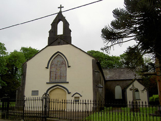 Cappawhite Catholic Churchchurch/chapel · 1530 yd
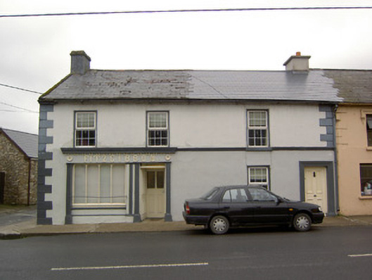 Fitzgibbonhouse · 1604 yd
 Shanaclogh CastleCastle, unclassified · 1.0 mi
 Site of CastleCastle, unclassified · 1.1 mi
 Green Field ParkWood · 1.9 mi
 GortnageraghMountain / peak · 2.8 mi
 Gortard WoodForest · 3.7 mi
 TooreenMountain / peak · 4.4 mi
 Sliev Felim WayVisitor information · 11 mi
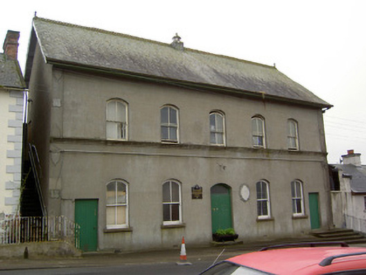 Cappawhite Parochial Hallhall · 1647 yd