
What is recorded here
Monument surveyed in 2015 and described by McGuinness (2015, 53) as following: ‘Very large, previously unrecorded ring-barrow (Diam. 44.5m N-S x 47.2m E-W), comprising a broad and very low domed mound (Diam. 32m N-S x 33.7m E-W) surrounded by a circular ditch; there appear to be the slightest traces of a bank outside…
Read the whole record
From the National Monuments Service (Archaeological Survey of Ireland) record WM013-113
Places near here
Photo credits
- Thomas Gibbons, www.westmeathexaminer.ie
- Maker not stated on source page, en.wikipedia.org
- Maker not stated on source page, theirishaesthete.com
- National Inventory of Architectural Heritage
- Maker not stated on source page, www.dreamstime.com
- Eric Jones, Geograph · Creative Commons Attribution-ShareAlike 2.0
- Maker not stated on source page, commons.wikimedia.org
- Maker not stated on source page, fi.pinterest.com
 McCabe Park, TurinGAA ground · 1026 yd
 Fairy fort / earthen ringfort in TevrinFairy fort / earthen ringfort · 1320 yd
Explorer Tom Fairy fort / earthen ringfort in Tevrin was skipped by a bishop who thought it looked too much like a muddy puddle.…
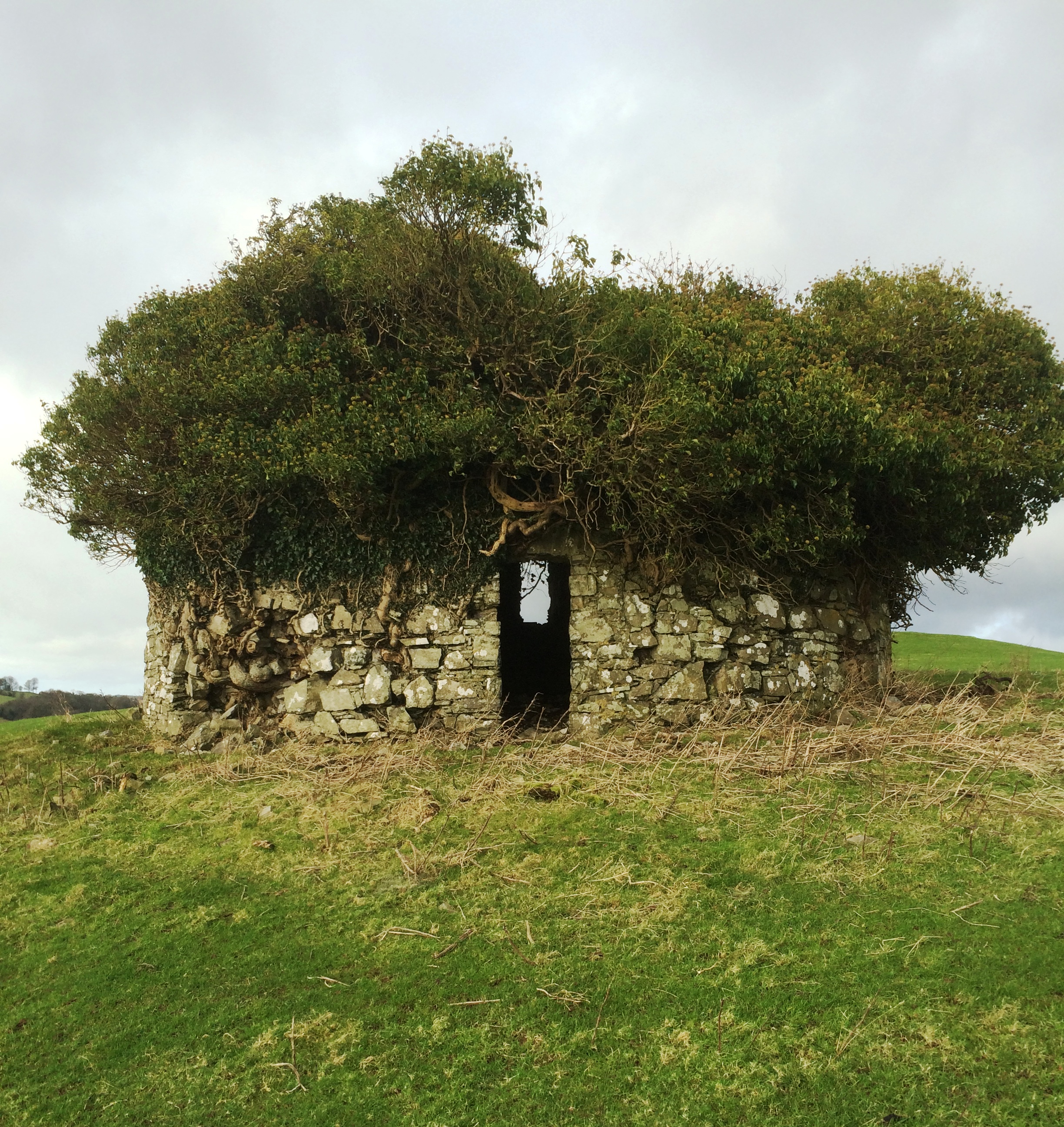 Fairy fort / earthen ringfort in BalreaghFairy fort / earthen ringfort · 1328 yd
Explorer Tom Fairy fort / earthen ringfort in Balreagh posts about its partial levelling by a road, claiming it’s a minimalist…
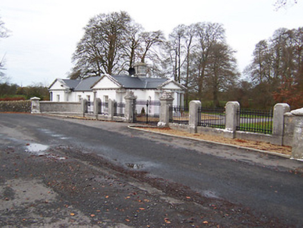 Gigginstown HouseDemesne walls/gates/railings · 1.1 mi
Explorer Tom Gigginstown House gates are so Egyptian they probably demand tribute in hieroglyphics before letting anyone through.…
 Fairy fort / ringfort in BalreaghFairy fort / ringfort · 1.4 mi
Explorer Tom Fairy fort / ringfort in Balreagh is invisible, so imagine a poet tripped over nothing and wrote a sonnet about the…
 Saint Joseph's Catholic ChurchChurch/chapel · 1.5 mi
Explorer Tom Saint Joseph’s Church in Tevrin has had so many names that it gave up trying to remember them all and just settled on…
 Earthwork in ReynellaEarthwork · 1.6 mi
Explorer Tom Earthwork in Reynella has been in a feud with the next village over who owns the wind rights. It’s an oval platform…
 Church of St. John the Baptist GraveyardGraveyard · 1.7 mi
Explorer Tom Church of St. John the Baptist Graveyard in County Westmeath has very strong opinions on modern buildings, especially…
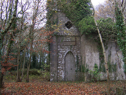 Church of Saint John the Baptist (Rathconnell)Church/chapel · 1.7 mi
Explorer Tom Saint John the Baptist would win the county fair for best in show, even with its spire slightly leaning like it’s…
 Standing stone in Balrath North (moyashel & Magheradernon By.)Standing stone · 1.7 mi
Explorer Tom Standing stone in Balrath North started a whole parish argument just by standing there looking slightly smug and…
Fairy fort / ringfort in ClonkillFairy fort / ringfort · 1.9 miExplorer Tom Fairy fort / ringfort in Clonkill would complain to the council about how marshy the ground is under its feet. It’s a…
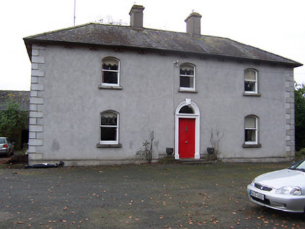 Rickardstown HouseHouse · 1.9 mi
Explorer Tom Rickardstown House in Rickardstown is doing its best to look dignified despite that weird doorframe it stole from a…
More archaeology and monuments in County Westmeath · All of County Westmeath

What do you know about this place?Tap to add a comment or ask a question