What is recorded here
In wet pasture, on slight N-facing slope. Surveyed by the ASI in 2008 and described as an oval-shaped area (24m N-S; 21m E-W) defined by an inner fosse, an outer bank, an outer fosse and the possible remains of a second outer bank with possible entrance (overall Wth 6m; base Wth 2m) at NNE. The inner fosse (Wth 10.25m; D 0.3m) is best defined from SW-W and from NNE-ENE. The remains of an outer bank (Wth 11.25m; int. H 0.3m; ext. H 0.75m) are visible from SW-W-N-NE and appear to be truncated by a curvilinear drain and field boundary from ENE-E-S-SW. An outer fosse (Wth 8.25m; D 0.2m) is visible from SW-W-N-NE. The possible remains of a second outer bank are visible from NNW-N-NNE. The interior is grass covered and slightly uneven. A shallow drainage channel extends from the monument at NE in a northerly direction. The monument is respected by a field boundary from ENE-E-S-SW, which also forms a townland boundary from SE-S-SW. Monument is visible as a partially tree-lined earthwork on Digital Globe orthophotos taken 2011-13 and on Google Earth orthoimages taken 18/11/2018.
See attached sketch plan and cross-sections surveyed and drawn by the ASI.
See attached Google Earth orthoimage
Compiled by: Alison McQueen and Vera Rahilly
Date of upload: 17 July 2020
A ring-barrow, likely dating to the Early Bronze Age, characterized by concentric ditches and banks; such monuments are significant for understanding burial practices and social organization in prehistoric Ireland.
The monument record does not grant public access. Check the route and ask the landowner before entering private land.
- What survives
- Recorded monument
Places near here
 Grave Yd.Graveyard · 962 yd
 (Site of) Toughcluggin ChurchChurch · 975 yd
 (Site of) Castle ClugginCastle, unclassified · 1071 yd
 Shandangan Bridgebridge · 1645 yd
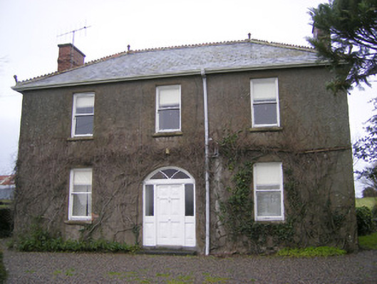 Foxfieldhouse · 1.1 mi
 CloghadaltonCastle, unclassified · 1.6 mi
 ToberagaddySpring · 2.0 mi
 Oola HillMountain / peak · 2.2 mi
 KnockseefinMountain / peak · 3.4 mi
 St. Patrick's WellSpring · 5.3 mi
 Flat cemetery in Knockainy WestFlat cemetery · 9.2 mi
 Enclosure in ReaskEnclosure · 1618 yd