What is recorded here
Situated on top of a prominent rise, in gently undulating pasture, with good views in all directions. Depicted on the revised 1913 ed. OS 25-inch map as a small circular-shaped earthwork (diam. 9.5m) defined by a scarp, fosse and external bank. Levelled monument described in 1971 as the remains of a circular-shaped area (diam. 23m) defined by a scarp with external fosse. A low, smooth scarp (H 0.8m) with faint traces of a fosse (approx. Wth 2.1m) are visible from SE-S-W-N. A linear wire fence skirts the monument to N and E which forms part of a modern dwelling plot.
Compiled by Alison McQueen, Vera Rahilly and Caimin O’Brien.
Date of upload: 04 November 2019
The monument record does not grant public access. Check the route and ask the landowner before entering private land.
- What survives
- Recorded monument
Places near here
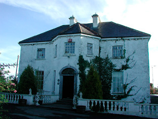 Woodville Housecountry house · 363 yd
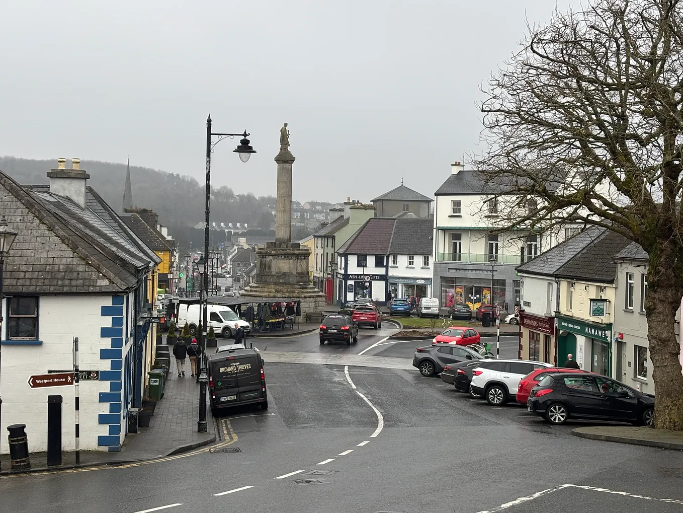 Not idnicatedFairy fort / earthen ringfort · 1060 yd
 Dotted outlineFairy fort / earthen ringfort · 1104 yd
 Penal Mass station in VilanstownPenal Mass station · 1383 yd
 CastleCastle, tower house · 2.1 mi
 Site of CastleCastle, unclassified · 2.4 mi
 United Nations War MemorialMemorial · 5.6 mi
 Roundhill WoodForest · 10.0 mi
 Rahin WoodsForest · 10 mi
 Partially hachuredFairy fort / earthen ringfort · 1310 yd
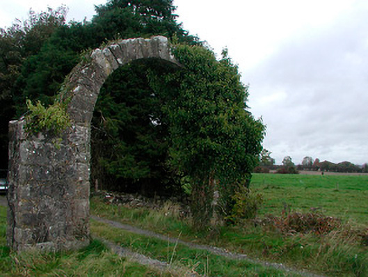 Violetstown Housefarmyard complex · 1421 yd
 IndicatedFairy fort / earthen ringfort · 1712 yd