
What is recorded here
From the National Monuments Service (Archaeological Survey of Ireland) record ME016-019
Places near here
Photo credits
- Maker not stated on source page, www.pinterest.com
- National Inventory of Architectural Heritage
- Maker not stated on source page, ru.pinterest.com
- Bob Embleton, Geograph · CC BY-SA 2.0
- David Mullen / John Quirke Photography, credited by Meath GAA, meath.gaa.ie
 Cist in CrossakeelCist · 155 yd
Explorer Tom Cist in Crossakeel in County Meath is a tiny coffin-sized box that would absolutely scream at the council about its…
 sign post1089 yd
Explorer Tom Sign post in Crossakeel is standing there looking proud of its harp, which is nice because the rest of it is pretty…
 Carrick ViewFarm house · 1096 yd
Explorer Tom Carrick View has limestone door surrounds that look like they’re trying too hard to impress the sheep. The local flock…
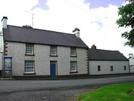 The Old BarracksHouse · 1501 yd
Explorer Tom The Old Barracks in Crossakeel has windows with ogee horns that make it look like a spaceship landed in a small village…
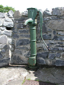 water pump1563 yd
Explorer Tom Water pump in Crossakeel started when two lads bet it could handle the whole village’s thirst. It’s got an elegantly…
 Hill HouseHouse · 1615 yd
Explorer Tom Hill House in Crossakeel is having a dramatic standoff with the nearest tree over who looks taller. Its ashlar chimneys…
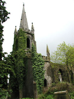 Saint Schiria's Church (Kilskeer)Church/chapel · 1667 yd
Explorer Tom Saint Schiria's Church (Kilskeer) bragged about surviving a storm in 1890 but lost its roof in the process. It’s now…
 Fairy fort / earthen ringfort in BoltownFairy fort / earthen ringfort · 1680 yd
Explorer Tom Fairy fort / earthen ringfort in Boltown thinks Dublin tourists are all about the Instagram filter and not the actual…
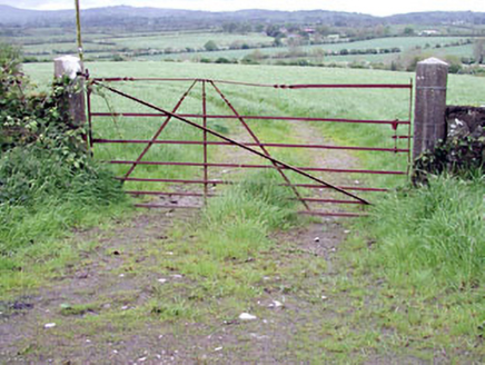 gates/railings/walls1.1 mi
Explorer Tom Gates in Crossakeel are just piers and wrought-iron pretending to be anything special, which is hilarious because…
 New GroveStables · 1.2 mi
Explorer Tom New Grove stables have a hen house that’s seen things and refuses to talk about them. They handle nosy neighbours by…
 Standing stone in Balnagon UpperStanding stone · 1.2 mi
Explorer Tom Standing stone in Balnagon Upper got its map coordinates wrong because it leans so far south it’s practically lying…
 Ballinlough GAAGAA ground · 1.9 mi
More archaeology and monuments in County Meath · All of County Meath

What do you know about this place?Tap to add a comment or ask a question