
What is recorded here
From the National Monuments Service (Archaeological Survey of Ireland) record WM003-107
Places near here
Photo credits
- Maker not stated on source page, www.dreamstime.com
- National Inventory of Architectural Heritage
- Photographer not named in the source article, www.independent.ie
- Maker not stated on source page, global-geography.org
- Maker not stated on source page, en.wikipedia.org
- Maker not stated on source page, www.pinterest.com
- Willow, Wikimedia Commons · CC BY 2.5
- Steve & Jemma Copley on Flickr, Wikimedia Commons · CC BY-SA 2.0
 Mapped graveyardGraveyard · 524 yd
Explorer Tom Mapped graveyard in County Westmeath is the favorite gossip spot for the local seagulls, who spend all day perched on…
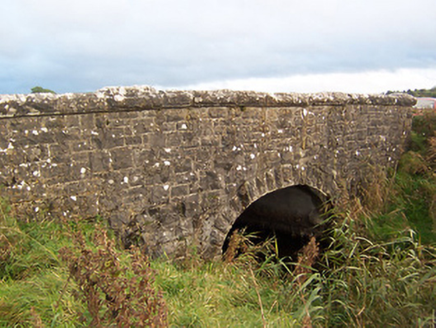 Stonestown BridgeBridge · 1273 yd
Explorer Tom Stonestown Bridge would have 'I held up this weight so you don’t have to' on its tombstone. It was built by the Board…
 bridge1302 yd
Explorer Tom Bridge in Clongowly was the site of a bet between a priest and a farmer about who could cross it faster in one piece.…
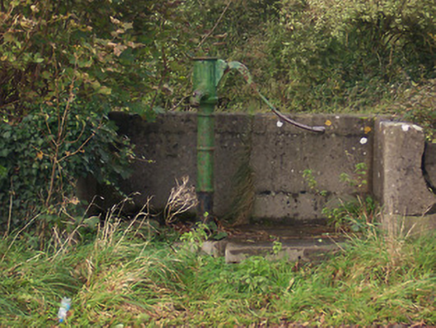 water pump1341 yd
Explorer Tom Water pump in Ballycomoyle is playing hard to get, acting like it's royalty even though it’s just a rusty tin can on a…
 Gilbertstown HouseMiller's house · 1363 yd
Explorer Tom Gilbertstown House in Clongowly would bring a bag of flour and a grumpy attitude to any party it attended. It was a…
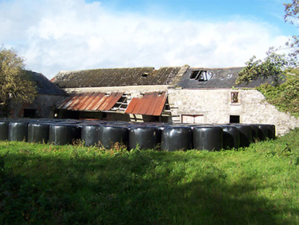 Gilbertstown MillsMill (water) · 1402 yd
Explorer Tom Gilbertstown Mills in Clongowly is a water mill where the builder was really just thinking about lunch breaks. It’s…
 Ballycomoyle GAA pitchGAA ground · 1451 yd
 Megalithic structure in LickblaMegalithic structure · 1.1 mi
Explorer Tom Megalithic structure in Lickbla, County Westmeath would make Saint Patrick stop mid-sermon and say 'blimey, that’s a…
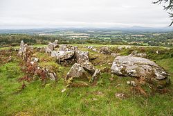 Wedge tomb in LickblaWedge tomb · 1.3 mi
Explorer Tom Wedge tomb in Lickbla is rolling around in the pasture like it’s the life of the party, even though it’s ancient. If it…
 Lickbla GraveyardCemetery · 1.3 mi
Explorer Tom Lickbla Graveyard in County Westmeath does a bit of rearranging when nobody’s looking, just to keep things fresh. The…
 European ash1.6 mi
Explorer Tom European ash in County Westmeath was saved by a hero nobody remembers, who probably just tripped over the roots and…
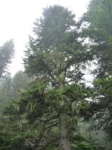 Silver Fir2.2 mi
Explorer Tom Another Silver Fir in County Westmeath is posting selfies of its own leaves because it thinks it’s the most photogenic…
More archaeology and monuments in County Westmeath · All of County Westmeath

What do you know about this place?Tap to add a comment or ask a question