What is recorded here
On the highest point of a ridge in pasture. A circular, dome-shaped mound of earth and stone (diam. at base c. 8m; H 1.8-2m). There is no trace of an encircling bank or fosse. From NE-S-SSW it is skirted by a low field bank and ditch.
Compiled by: Patrick F. O'Donovan
Date of upload: 26 August 2011
Mound barrow, likely dating to the Early Bronze Age. It represents a type of funerary monument associated with burial and ritual practices of early agrarian communities in the region.
This remains an important historical record, but the official description says the monument is no longer visible or has been destroyed. The monument record does not grant public access. Check the route and ask the landowner before entering private land.
- What survives
- No visible remains or recorded as destroyed
Places near here
 Enclosure in ShantumEnclosure · 230 yd
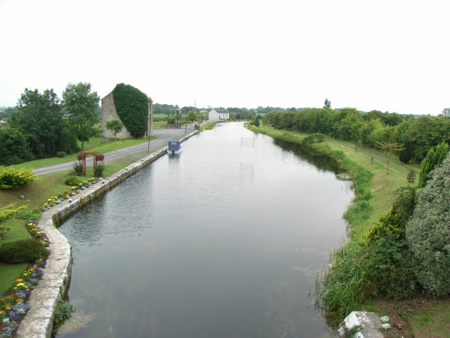 Enclosure in Ballindagny AND CullyvoreEnclosure · 502 yd
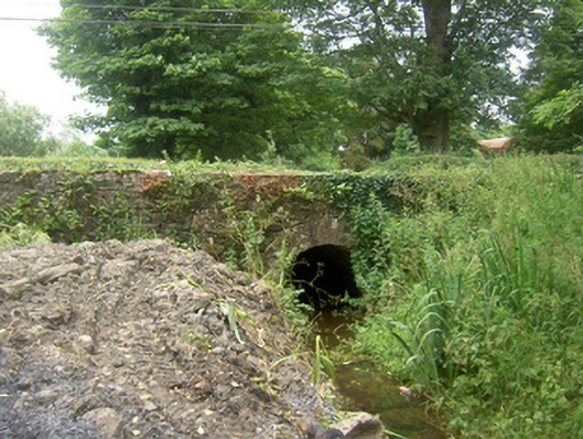 Holy Well Bridgebridge · 606 yd
 Abbey (in Ruins)Religious house, Franciscan Third Order Regular · 715 yd
 Edgeworthstown BypassMemorial · 1141 yd
 MoatawardCastle, motte and bailey · 1.2 mi
 MoatCastle, motte · 1.4 mi
 Oldtown DemesneForest · 3.1 mi
 Oldtown CopseWood · 3.1 mi
 Granard MotteMotte-and-bailey castle remains · 7.9 mi
 1798 Monumentmonument · 8.0 mi
 Graveyard in Curry (ardagh By., Coolamber Ed)Graveyard · 8.3 mi