What is recorded here
At the base of a low-lying WSW-facing slope in pasture. A report in 1976 (SMR file) indicates that this roughly trapezoidal-shaped, raised area (c. 41m NW-SE; c. 30m NE-SW) was then defined by a bank of earth and stone and an external fosse. It is now defined by a scarp (H 0.5-0.7m) and is divided into unequal portions by a modern NW-SE field bank and drain. The smaller portion, to the NE, has been levelled and is not visible at ground level. Spoil from the excavation of the drain has been piled up adjacent to the SW side of the field boundary. The original entrance is not recognisable.
Compiled by: Patrick F. O'Donovan
Date of upload: 26 August 2011
A local fairy fort (ringfort/rath); wider significance not recorded.
The monument record does not grant public access. Check the route and ask the landowner before entering private land.
- What survives
- Recorded monument
Places near here
 Enclosure in ShantumEnclosure · 617 yd
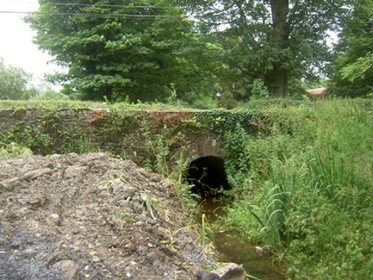 Holy Well Bridgebridge · 956 yd
 St. Barrys WellHoly well · 1004 yd
 Abbey (in Ruins)Religious house, Franciscan Third Order Regular · 1027 yd
 Edgeworthstown BypassMemorial · 1632 yd
 MoatCastle, motte · 1.3 mi
 MoatawardCastle, motte and bailey · 1.5 mi
 Oldtown CopseWood · 2.9 mi
 Oldtown DemesneForest · 2.9 mi
 Graveyard in Curry (ardagh By., Coolamber Ed)Graveyard · 8.0 mi
 Granard MotteMotte-and-bailey castle remains · 8.2 mi
 1798 Monumentmonument · 8.3 mi
Other information
Photo: Credit not shown in the picture search · Rights wording not checked; contact us if this picture should be removed