
What is recorded here
Within a tree plantation on low-lying ground, c. 45m to the NE of a small stream. Founded by Geoffrey O'Ferrall in the 15th century and dedicated to St John the Baptist (Conlan 1978, 79; Gwynn and Hadcock 1970, 268). Granted to Sir John Davies in 1611 (Cal. pat. rolls Ire., Jas I, 213) and to James Metcalfe in 1621 (ibid., 505). A nunnery may have been associated (Anon. 1826, 3 Jac. 1). The church is depicted on an early 17th-century map of Ardagh barony (BL, Cotton MS Augustus I.ii.25) but is not shown on the Down Survey (1655-6) map of Mastrim parish (NLI, MS 719). On the 1837 ed. of the OS 6-inch map a T-shaped, roofed building, within in the NW half of a roughly rectangular enclosure, is designated ‘Abbey’. On the OS 25-inch plan (surveyed 1911) only a section of walling, L-shaped in plan, is shown.
Although now densely overgrown with briars and nettles, the outline of the T-shaped building is defined by low wall-footings. The main block (int. dims. c. 22m NE-SW; 6.6m NW-SE; wall T 0.9m) was aligned NE-SW and the smaller block (int. dims. 9.5m NW-SE; 5.6m NE-SW; wall T 0.9m) extended off its SE side and was aligned NW-SE. One architectural fragment, half of the sillstone of a mullioned window, was noted lying on the ground. The enclosure (int. dims. c. 55m NW-SE; 38m NE-SW) is defined by a tree-lined earthen bank, which has been reduced to a scarp in places, and a wide outer fosse. In 1975 (SMR file) a semicircular platform defined by an irregular scarp with possible traces of an outer fosse was noted to its SE, while to its NW low banks extended from its NE and SW sides. A possible entrance gap (Wth 3m) is visible in the N angle of the field and a liner ditch running up to it from the NW may represent the line of an old roadway. Alternatively, this feature may be the remains of a post-medieval drainage ditch. St Mary’s Well (LF015-061----) lies c. 50m to the W.
Compiled by: Caimin O'Brien
Date of upload: 4 June 2013
A local church or high cross; wider significance not recorded.
The monument record does not grant public access. Check the route and ask the landowner before entering private land.
- What survives
- Recorded monument
Places near here
 St. Barrys WellHoly well · 94 yd
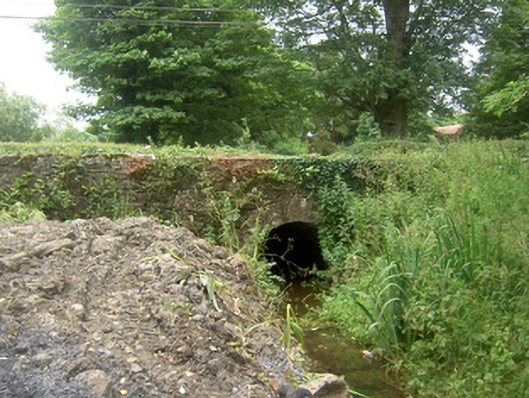 Holy Well Bridgebridge · 122 yd
 Burnt spread in TinnynarrBurnt spread · 580 yd
 Edgeworthstown BypassMemorial · 890 yd
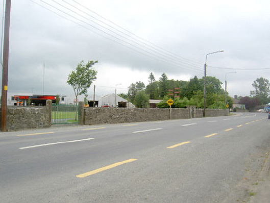 gates/railings/wallsgates/railings/walls · 910 yd
 MoatawardCastle, motte and bailey · 1.3 mi
 MoatCastle, motte · 1.8 mi
 Oldtown DemesneForest · 2.9 mi
 Oldtown CopseWood · 3.0 mi
 Clonfin Ambush MemorialMemorial · 5.0 mi
 Granard MotteMotte-and-bailey castle remains · 7.7 mi
 1798 Monumentmonument · 7.7 mi
Other information
Photo: Credit not shown in the picture search · Rights wording not checked; contact us if this picture should be removed