
What is recorded here
Pre-development testing in 2004 along the proposed route of N4 Edgesworthstown inner relief road revealed a deposit (0.96m x 0.75m; D 0.20m) of charcoal-rich soil with burnt stone (Tinnynarr 005). Excavation yielded no other features or artifacts (McQuade 2007, 251).
Compiled by: Patrick F. O'Donovan
Date of upload: 26 August 2011
The monument record does not grant public access. Check the route and ask the landowner before entering private land.
- What survives
- Recorded monument
Places near here
 Fulacht fia in TinnynarrFulacht fia · 510 yd
 Abbey (in Ruins)Religious house, Franciscan Third Order Regular · 580 yd
 St. Barrys WellHoly well · 596 yd
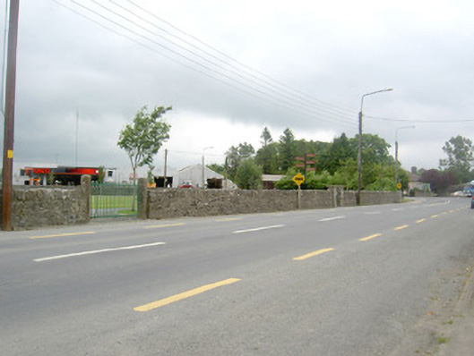 gates/railings/wallsgates/railings/walls · 648 yd
 Edgeworthstown BypassMemorial · 934 yd
 MoatawardCastle, motte and bailey · 1.4 mi
 CastleCastle, ringwork · 1.5 mi
 Oldtown DemesneForest · 3.0 mi
 Oldtown CopseWood · 3.0 mi
 Clonfin Ambush MemorialMemorial · 4.7 mi
 Granard MotteMotte-and-bailey castle remains · 7.4 mi
 1798 Monumentmonument · 7.5 mi
Other information
Photo: Credit not shown in the picture search · Rights wording not checked; contact us if this picture should be removed