What is recorded here
Barrow is a barrow (embanked barrow) in Ballygambon, County Tipperary, Ireland. A circular area 29 metres across holds a gentle bank 6.5 metres wide, rising 0.6 metres inside and 1.0 metre outside, while a shallow external ditch 6 metres wide and 0.15 metre deep surrounds it. The level interior contains mature deciduous trees, and a possible embanked barrow abuts the site to the north across a 2.7 metre wide ridge.
In pasture, on a gentle S-facing slope. Circular area (diam. 29m) defined by gentle bank (Wth 6.5m; int. H 0.6m; ext. H 1.0m), reduced to scarp (Wth 2.3m; H 0.8m) in places. External fosse (Wth 6m; D 0.15m) is shallow yet consistent. Interior is generally level and is planted with mature deciduous species. Abuts possible embanked barrow (TS070-072----) to N, where the respective fosses of are separated by a level ridge (Wth 2.7m). No evidence of a causewayed entrance. Ringfort (TS070-070----) located 275m to NNW.
Compiled by: Jean Farrelly
Date of upload: 26 August 2011
Embanked barrow, likely dating to the Early Bronze Age. This type of monument is significant as it represents an early form of burial and ceremonial earthwork in the Irish landscape.
The monument record does not grant public access. Check the route and ask the landowner before entering private land.
- What survives
- Recorded monument
Places near here
 Grove WoodForest · 229 yd
 Enclosure in GroveEnclosure · 760 yd
 Lakefieldfarmyard complex · 922 yd
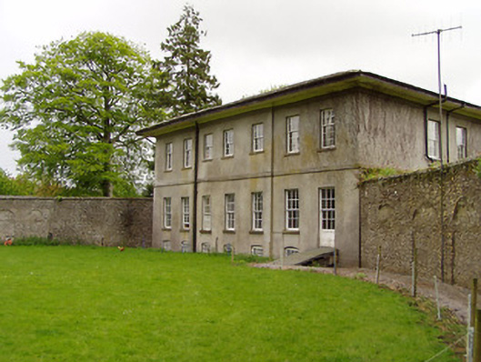 Lakefield Housewalled garden · 973 yd
 Pedunculate OakPedunculate Oak · 1424 yd
 Enclosure in Strike LowerEnclosure · 1580 yd
 (Site of) Killerk CastleCastle, unclassified · 1.1 mi
 Edmond's CastleCastle · 1.2 mi
 East GateMemorial · 1.2 mi
 Kilknockan HillMountain / peak · 2.4 mi
 CarrigdotiaMountain / peak · 3.7 mi
 Newtown Househouse · 1065 yd