What is recorded here
In poorly drained grassland. Outline of possible ditch-barrow visible on Google Earth orthoimage taken 18/11/2018.
See attached Google Earth orthoimage
Compiled by: Caimin O'Brien based on details provided by Jean-Charles Caillère
Date of upload: 2 November 2021
Ditch barrow, likely dating to the Early Bronze Age. Its presence indicates prehistoric burial practices in the Carrig Beg area, though its wider significance remains unclear due to limited recorded context.
The monument record does not grant public access. Check the route and ask the landowner before entering private land.
- What survives
- Recorded monument
Places near here
 Derraun Bridgebridge · 654 yd
 Enclosure in Carrig BegEnclosure · 1052 yd
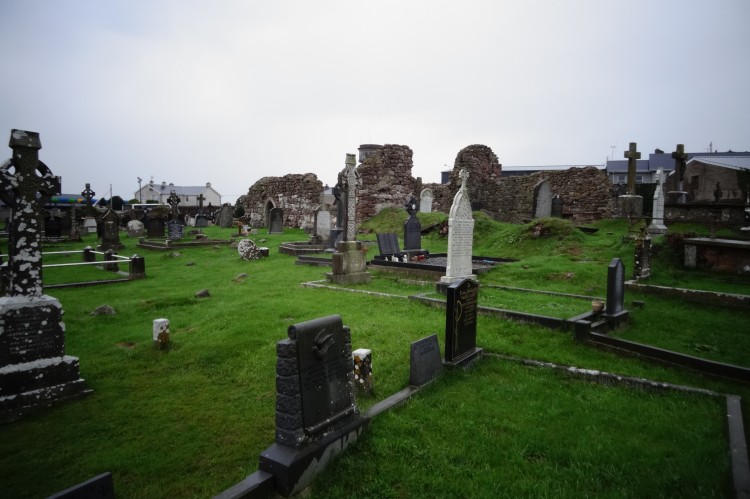 Grave YardBurial ground · 1162 yd
 Water millWater mill, unclassified · 1327 yd
 Coonagh CastleCastle · 1480 yd
 Longford Castle (in ruins)Castle, unclassified · 1.9 mi
 ToberagaddySpring · 2.6 mi
 Oola HillMountain / peak · 3.0 mi
 KnockseefinMountain / peak · 4.1 mi
 St. Patrick's WellSpring · 6.4 mi
 Flat cemetery in Knockainy WestFlat cemetery · 10 mi
 Enclosure in ReaskEnclosure · 1487 yd