What is recorded here
On the summit of a drumlin. Subcircular, steep-sided, grass-covered and flat-topped earthen mound (dims of base 24.5m N-S; 22m E-W; diam. of top 2.5m; H 4m at N to 5.7m at S). A band of wet ground (Wth 4.5m) at the base indicates a fosse (max. ext. diam. c. 35m). Embanked enclosure (RO006-118001-) is c. 380m to the NE.
Compiled by: Michael Moore
Date of upload: 24 August 2010
Bowl barrow, likely dating to the Early Bronze Age. It represents a common form of burial monument in the British Isles, reflecting early ceremonial and funerary practices.
The monument record does not grant public access. Check the route and ask the landowner before entering private land.
- What survives
- Recorded monument
Places near here
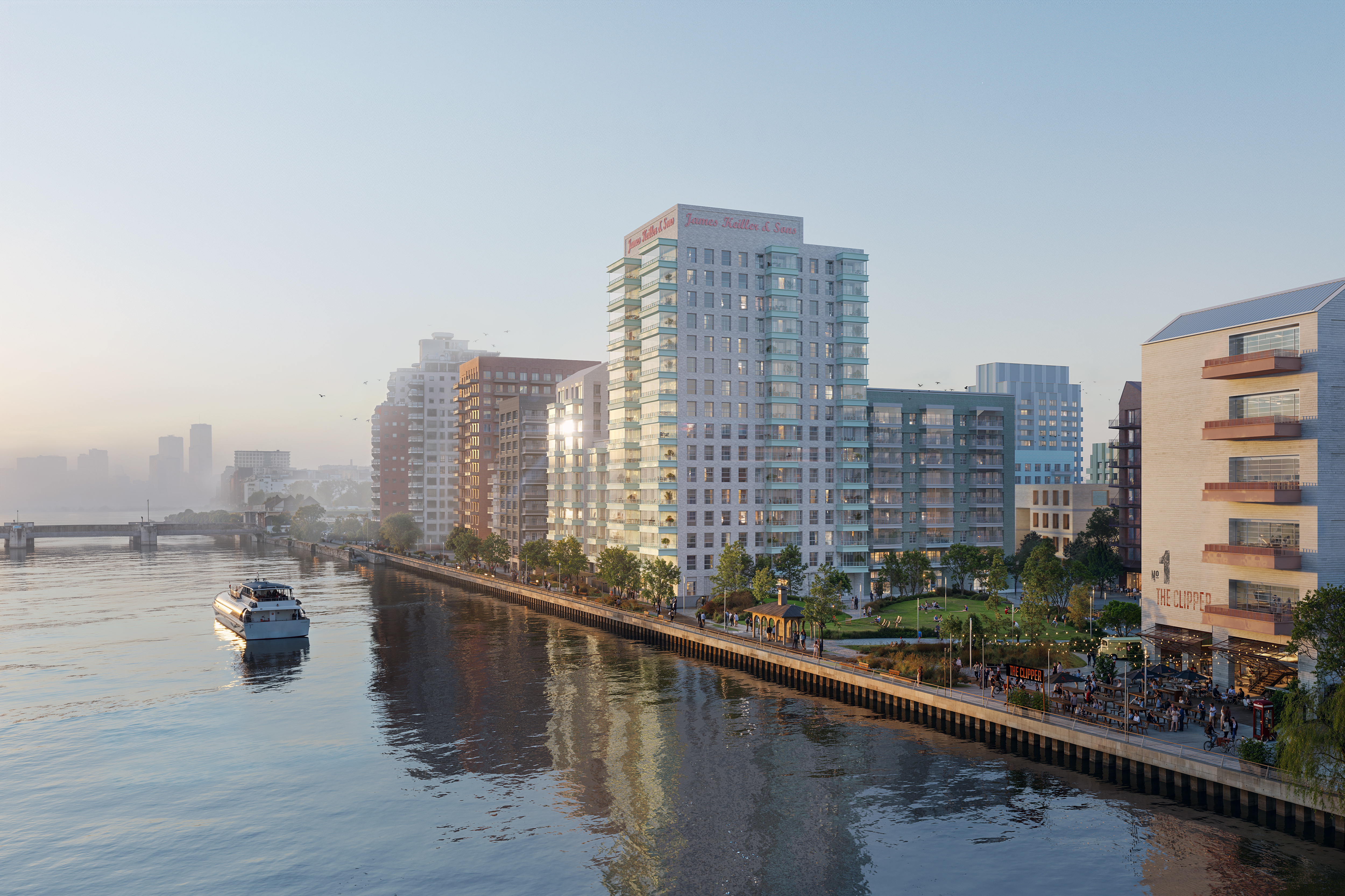 IndicatedFairy fort / earthen ringfort · 1251 yd
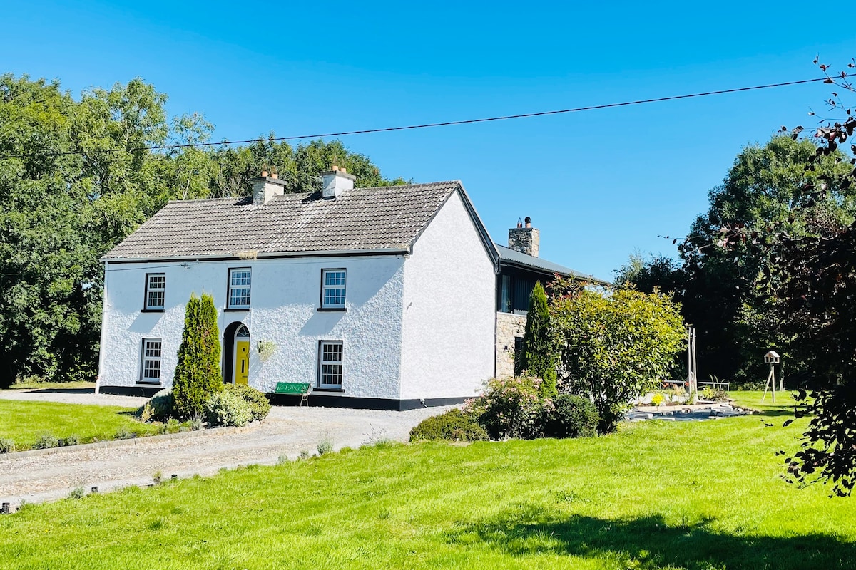 Hut site in Ballymore WestHut site · 1484 yd
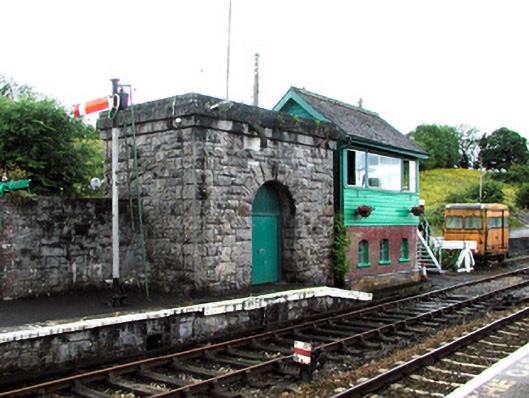 Boyle Railway Stationsignal box · 1.4 mi
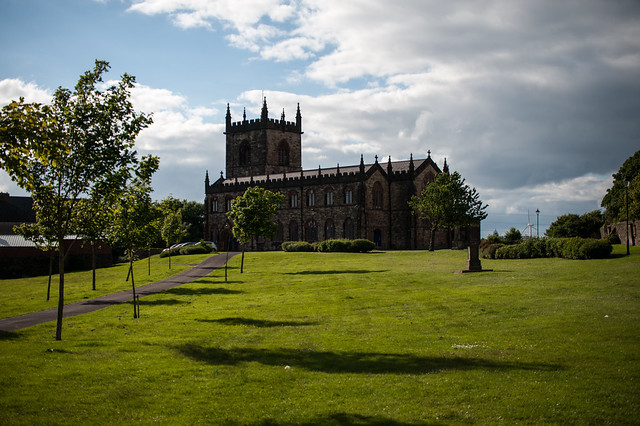 Assylin ChurchChurch · 1.5 mi
 King William MemorialMonument · 1.7 mi
 Boyle AbbeyHeritage attraction · 1.8 mi
 Moylung Castle (in ruins)Castle, unclassified · 2.8 mi
 Erris BayBay · 3.1 mi
 Bingham IslandIslet · 3.3 mi
 Lough Key Forest ParkWood · 3.3 mi
 Battle of Curlew PassMajor battlefield · 3.5 mi
 Battle of the Curlew Mountains (1599)Battlefield · 3.5 mi