
What is recorded here
From OpenStreetMap (© OpenStreetMap contributors) n332373122
Places near here
Photo credits
- Maker not stated on source page, www.pinterest.com
- Maker not stated on source page, en.wikipedia.org
- National Inventory of Architectural Heritage
- Maker not stated on source page, www.alamy.com
- Maker not stated on source page, irisharchaeology.org
- Maker not stated on source page, nl.pinterest.com
- Maker not stated on source page, www.gpsmycity.com
- Adrian King, Geograph · CC BY-SA 2.0
 Megalithic tomb in KnockdownMegalithic tomb · 1.9 mi
Explorer Tom Megalithic tomb in Knockdown has strict house rules: no shouting, no running, and absolutely no asking where the body…
 Standing stone in MuinganineStanding stone · 2.0 mi
Explorer Tom Muinganine’s stone claims to have a rich family tree, but most of it is pure invention and gossip. It’s one of three on…
 Tobar na bhFionn CemeteryGraveyard · 3.4 mi
Explorer Tom Tobar na bhFionn Cemetery is where Saint Patrick supposedly stopped to complain about the mud before deciding it was…
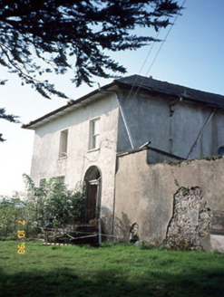 Kilmurry HouseHouse · 3.6 mi
Explorer Tom Kilmurry House was built on a bargain where the owner got the house and the previous owner got all the dust and regret.…
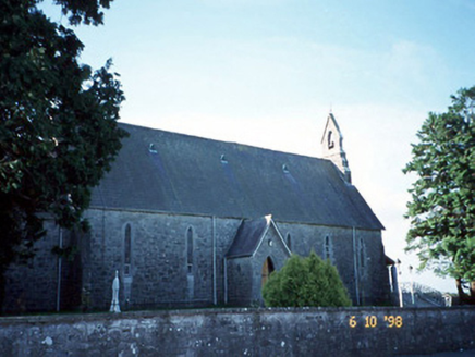 Catholic Church of the Immaculate ConceptionChurch/chapel · 3.6 mi
Explorer Tom Catholic Church of the Immaculate Conception in Cordal West thinks Dublin tourists are just noisy pigeons with…
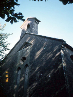 Cordal Church (Ballincuslane)Church/chapel · 3.7 mi
Explorer Tom Cordal Church in Ballincuslane is secretly proud of one very specific potato in its field. It’s Gothic and grand, but…
 Anomalous stone group in Glenreagh (duhallow By.)Anomalous stone group · 5.7 mi
Explorer Tom Anomalous stone group in Glenreagh had eight stones in a circle, according to an old man's grandfather. Now they’re all…
 Standing stone in TooreenclassaghStanding stone · 6.9 mi
Explorer Tom Standing stone in Tooreenclassagh used to be part of a trio until two got bored and left. Now it's just here, looking…
 Standing stone in Park (duhallow By., Nohavaldaly Par.)Standing stone · 7.7 mi
Explorer Tom Standing stone in Park, County Cork used to be part of a pair called 'dallans', but both were removed in the late 1970s…
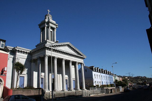 Catholic ChurchChurch · 7.9 mi
Explorer Tom Catholic Church in Farrankeal sits right next to the fair green, so it's probably seen some wild characters over the…
 Knocknagree Roman Catholic ChurchChurch/chapel · 7.9 mi
Explorer Tom Knocknagree Roman Catholic Church is having a quiet rivalry with every other church in town. It’s got Gothic lancets…
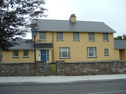 Knocknagree Garda StationGarda station/constabulary barracks · 7.9 mi
Explorer Tom 17. Knocknagree Garda Station looks like a fancy country house because it was built in the Domestic Revival style…
More mountains and hills in County Kerry · All of County Kerry

What do you know about this place?Tap to add a comment or ask a question