What is recorded here
Possible unlocated megalithic structure located between Scartaglin and Williamstown described in 1854 as follows; ‘About half way to the top of the hill “is a rude structure composed of large flat stones sunk deep in the ground and rising about two feet [0.6m] above the surface as far as half the length. For the rest they appear only a few inches above the ground, except the foot-stone, which is high like those at the top. From head to foot it measures 15 ft. [4.5m] and the breadth in proportion”. It appears perfect and entire as when first erected, except where a roofing flag has fallen in’ (Kerry Archaelogical Magazine 1916, Vol. 19, 218-19).
Compiled by: Caimin O'Brien
Date of upload: 21 April 2022
The monument record does not grant public access. Check the route and ask the landowner before entering private land.
- What survives
- Recorded monument
Places near here
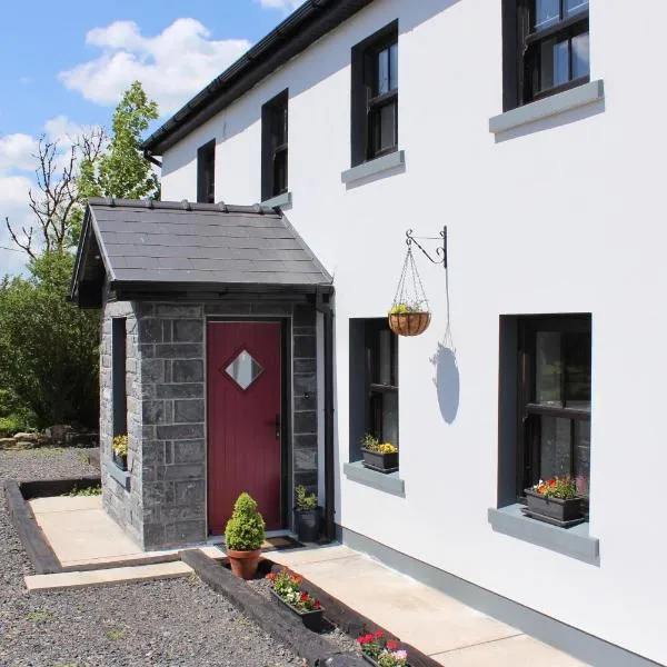 Enclosure in KnockeennahoneEnclosure · 2.1 mi
 Site of Ardnagragh CastleCastle, unclassified · 2.5 mi
 Enclosure in Derreen (trughanacmy By.)Enclosure · 2.5 mi
 Ardnacreach CastleCastle · 2.5 mi
 Kilnananima Church (in ruins)Church · 2.5 mi
 Doctor's HillMountain / peak · 2.5 mi
 Mount EagleMountain / peak · 2.8 mi
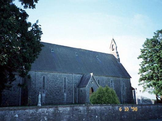 Catholic Church of the Immaculate Conceptionchurch/chapel · 3.0 mi
 Barna BogForest · 3.3 mi
 Nohaval WoodWood · 8.4 mi
 Famine MemorialMemorial · 12 mi
 Kerry 2nd Brigade of the Irish Republican ArmyMemorial · 12 mi