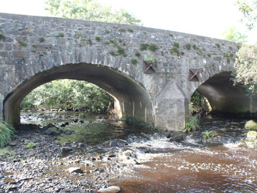
What is recorded here
Triple-arch road bridge over Glentogher River, erected c. 1800. Segmental arches with squared-rubble stone voussoirs. Squared rubble to vaults and piers. Random-rubble walls to parapets with rendered coping. Rendered triangular cutwaters to both elevations, with cast-iron bracing through piers. Double carriageway with tarmac to deck. Located to south of Carndonagh.
An attractive, well built bridge, complementary to its rural setting and an integral part of the area's historic environment. It has long-served as an important crossing point over the Glentogher River and its continued use is testament to its solid design and construction.
This does not grant access. Most recorded buildings are privately owned; view them only from public ground unless the owner allows entry.
Places near here
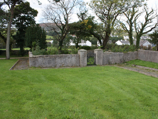 Mount Saint Mary Conventgraveyard/cemetery · 263 yd
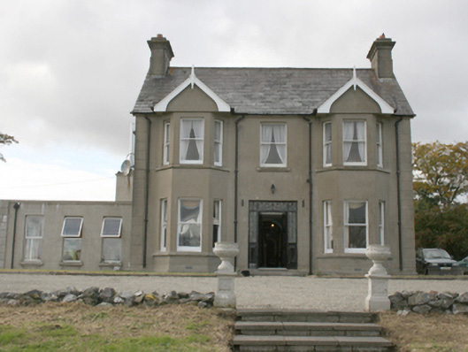 Donagh Lodge B&Bhouse · 627 yd
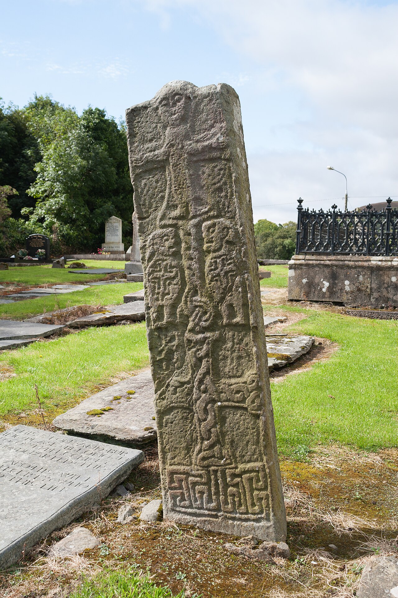 Cross-slab in Churchland QuartersCross-slab · 1113 yd
 Carndonagh Early Church GraveyardGraveyard · 1115 yd
 Carndonagh South Pillar StoneStone sculpture (present location) · 1121 yd
 Wee Slieve SnaghtMountain / peak · 3.6 mi
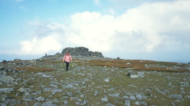 Slieve SnaghtMountain / peak · 4.0 mi
 Dough Famine VillageHeritage attraction · 5.3 mi
 Doagh Famine VillageMuseum · 5.4 mi
 CuldaffOfficial bathing water · 6.1 mi
 CastleCastle, unclassified · 6.2 mi
 Clonmany Early Church GraveyardGraveyard · 6.5 mi
Other information
Photo: National Inventory of Architectural Heritage · Website use allowed for educational or private purposes with source credit