
What is recorded here
Detached three-bay two-storey farmhouse with dormer attic, extant 1840, on a rectangular plan. Occupied, 1911. Now disused. Pitched slate roof with terracotta ridge tiles terminating in rendered chimney stacks having shallow stringcourses below capping, rooflights to rear (east) pitch, and no rainwater goods surviving on rendered eaves. Part creeper- or ivy-covered fine roughcast coursed rubble stone battered walls with concealed flush quoins to corners. Segmental-headed central door opening with cut-granite threshold, and concealed dressings framing timber panelled double doors having fanlight. Square-headed flanking window openings in tripartite arrangement with cut-granite sills, timber mullions, and concealed dressings framing four-over-four timber sash windows having two-over-two sidelights. Square-headed window opening (first floor) with cut-granite sills and concealed dressings framing two-over-two or three-over-six timber sash windows. Set in unkempt grounds.
A farmhouse representing an integral component of the domestic built heritage of County Wexford with the architectural value of the composition suggested by such attributes as the compact rectilinear plan form centred on an understated doorcase showing a simple radial fanlight; and the diminishing in scale of the openings on each floor producing a graduated tiered visual effect with the principal "apartments" or reception rooms defined by tripartite glazing patterns. A prolonged period of unoccupancy notwithstanding, the elementary form and massing survive intact together with substantial quantities of the original fabric, both to the exterior and to the interior, thereby upholding much of the character or integrity of the composition. Furthermore, adjacent "tin roofed" outbuildings (extant 1840); and a walled garden (extant 1840), all continue to contribute positively to the group and setting values of a self-contained ensemble making a pleasing, if increasingly obscure visual statement in a rural street scene.
From the Buildings of Ireland (National Inventory of Architectural Heritage) record 15704006
This does not grant access. Most recorded buildings are privately owned; view them only from public ground unless the owner allows entry.
Places near here
Photo credits
- National Inventory of Architectural Heritage
- Mike Searle, Geograph · CC BY-SA 2.0
- Richard Webb, Geograph · CC BY-SA 2.0
- cisko66, Wikimedia Commons · CC BY 3.0
- Eirian Evans, Geograph · Creative Commons Attribution-ShareAlike 2.0
- A.-K. D., Wikimedia Commons · CC BY-SA 4.0
- Oliver Dixon, Geograph · CC BY-SA 2.0
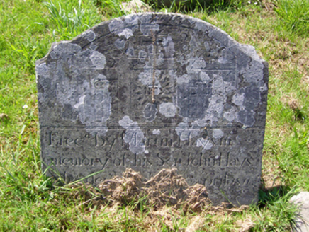 graveyard/cemetery1264 yd
 farm house1302 yd
 Black Castle (in ruins)Castle, tower house · 2.9 mi
 IndicatedBawn · 2.9 mi
 Carrickbyrne HillMountain / peak · 4.7 mi
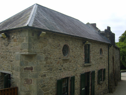 Tintern AbbeyStables · 5.1 mi
 Grave YardGraveyard · 5.1 mi
 Tintern AbbeyBuilding misc · 5.1 mi
 Lady WellHoly well · 5.2 mi
 Blackhall StrandBeach / strand · 6.3 mi
 Cullenstown StrandBeach / strand · 6.5 mi
 Keeragh IslandsIsland · 7.5 mi
More historic places in County Wexford · All of County Wexford
What do you know about this place?