What is recorded here
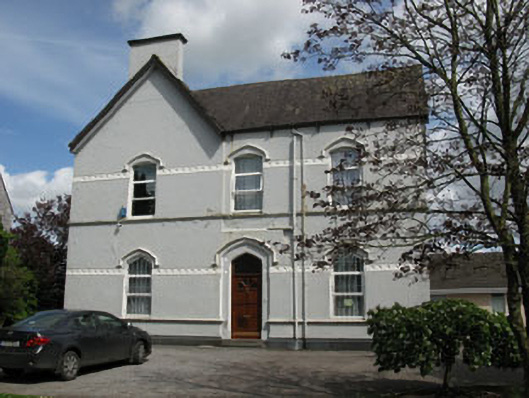
Detached three-bay two-storey presbytery, built c.1870, having gable-fronted end-bay to front (west) and two-storey block to rear (east). Hipped slate roof, pitched slate to gable-fronted bay and addition, having rendered chimneystacks and cast-iron rainwater goods on cast-iron eaves brackets. Rendered walls with render sill courses to ground and first floors and rendered plinth, decorative platbands to impost levels of ground and first floors. Pointed arch window openings to ground floor, camber-headed to first floor, having render hood mouldings and replacement uPVC casement windows. Pointed arch door opening to front elevation set within shallow recess, having render hood-moulding, moulded render surround and timber battened door with single-pane overlight and limestone steps. Retaining interior features. Rendered gate piers and rubble stone boundary walls. Set within own grounds.
The large scale and imposing form of this presbytery is enlivened by the use of decorative features such as platbands and hood mouldings. It forms a group with the church located to the north and together they make a important contribution to the town's social fabric.
From the Buildings of Ireland (National Inventory of Architectural Heritage) record 20842022
This does not grant access. Most recorded buildings are privately owned; view them only from public ground unless the owner allows entry.
Places near here
 St Mary and St John's Roman Catholic ChurchChurch/chapel · 40 yd
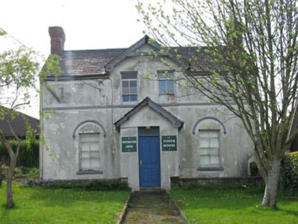 Youth HouseHouse · 245 yd
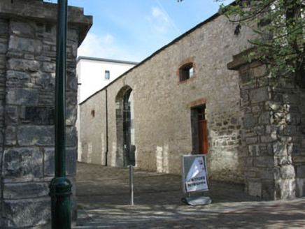 store/warehouse325 yd
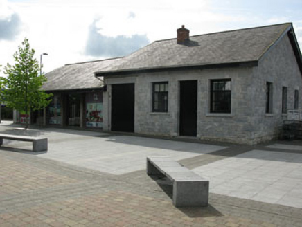 outbuilding327 yd
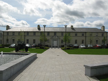 Joyce HouseBarracks · 414 yd
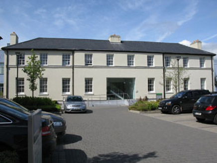 Emmet HouseBarracks · 415 yd
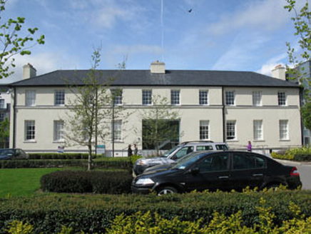 Parnell HouseBarracks · 463 yd
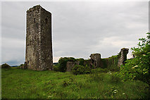 Ballincollig Castle (in Ruins)Castle, tower house · 1038 yd
 Ballincollig CastleCastle · 1049 yd
 Grave YardGraveyard · 1.4 mi
 Lavitts QuayMemorial · 5.1 mi
 Ladys WellHoly well · 5.2 mi
Pictures: Ian Paterson, Geograph · CC BY-SA 2.0; National Inventory of Architectural Heritage; Mike Searle, Geograph · CC BY-SA 2.0; Brendandiamond, Wikimedia Commons · CC BY-SA 3.0; Hywel Williams, Geograph · Creative Commons Attribution-ShareAlike 2.0; P L Chadwick, Wikimedia Commons · CC BY-SA 2.0; Michael O'Sheil, Wikimedia Commons · CC BY-SA 4.0
More historic places in County Cork · All of County Cork
What do you know about this place?