What is recorded here
Ardlis is a ruined ringfort in County Limerick, reduced to a shallow scar and faint oval shadow in pasture beside Newpark House. It has lost its wall, entrance and most of its shape, but the land still holds the memory of a small defended life. What remains is enough to mark the place and imagine the people who stood there looking out across the valley.
In pasture, on slight SSE facing slope with good views E-SW, Newpark House lies 100m to the SW. Annotated ‘Ardlis’ on the 1840 ed. OSi 6-inch map where it is depicted as a raised circular-shaped area defined by a scarp, intersected at W and SW by a post-1700 field boundary running NW-SE. Shown on the 1897 ed. OSi 25-inch map as a raised oval-shaped area defined by a scarp. Described in 1999, as a raised sub-circular shaped area (dim. 15.7m N-S; 14m E-W) defined by a scarp (H 0.6m; Wth 0.5m) with fosse (Wth at base 3m; ext. D 0.6m) with causewayed entrance (Wth 4m) at SSE. Levelled monument visible as circular cropmark on Digital Globe orthoimage taken between 2011-2013 and on Google Earth orthoimages.
See attached sketch plan surveyed and drawn by ASI and Google Earth orthoimages
Compiled by: Fiona Rooney
Date of upload: 12 November 2021
The monument record does not grant public access. Check the route and ask the landowner before entering private land.
- What survives
- Recorded monument
Places near here
 Enclosure in BrickfieldEnclosure · 626 yd
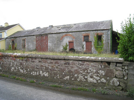 Effin Creameycreamery · 771 yd
 Castle (in ruins)Castle, unclassified · 1093 yd
 Tobernea Housepresbytery/parochial/curate's house · 1251 yd
 Grave YardGraveyard · 1472 yd
 Lady's WellSpring · 1668 yd
 ToberSpring · 1689 yd
 Site of CastleCastle, unclassified · 1.0 mi
 Caher HillMountain / peak · 2.0 mi
 BallinaboolaVisitor information · 2.7 mi
 Carron MountainMountain / peak · 3.2 mi
 Holy Cross CemeteryGraveyard · 3.2 mi