
What is recorded here
In pasture, on slight SSE-facing slope of broad E-W running ridge, with good views from SE-SW. An enclosure (LI055-007002-) lies 100m to the SE. Depicted on the 1840 ed. OSi 6-inch map as a raised oval-shaped area defined by a scarp. Shown on the 1897 ed. OSi 25-inch map as an oval-shaped area enclosed by a bank. Surveyed in 1999 and described as a slightly raised circular-shaped area (dims. 20m N-S; 20m E-W) enclosed by an earthen bank (Wth 3.8m; int. H 0.45m; ext. H 0.5m) from NW-W-NE, at SE and SW, reduced to a scarp (ext. H 0.3m) with external fosse (Wth at base 3.6m; ext. D 0.8m) from SW-W-N-NE. Breaks in bank at W (Wth 4m) and NE (Wth 2m). Monument visible as circular-shaped area enclosed by a tree-lined bank on Digital Globe orthoimage taken between 2011-2013 and on Google Earth orthoimages.
See attached sketch plan surveyed and drawn by ASI, ASIAP (305)19 and Google Earth orthoimages
Compiled by: Fiona Rooney
Date of upload: 16 November 2021
The monument record does not grant public access. Check the route and ask the landowner before entering private land.
- What survives
- Recorded monument
Places near here
 Castle (in ruins)Castle, unclassified · 498 yd
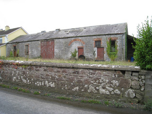 Effin Creameycreamery · 1392 yd
 BarrowBarrow, ditch barrow · 1629 yd
 Tobernea Housepresbytery/parochial/curate's house · 1651 yd
 Knockannaskeagh FortsFairy fort / earthen ringfort · 1670 yd
 Site of CastleCastle, unclassified · 1681 yd
 Lady's WellSpring · 1.3 mi
 ToberSpring · 1.3 mi
 Caher HillMountain / peak · 1.8 mi
 BallinaboolaVisitor information · 2.7 mi
 Carron MountainMountain / peak · 3.0 mi
 King John's CastleCastle · 3.4 mi
Other information
Photo: Credit not shown in the picture search · Rights wording not checked; contact us if this picture should be removed