What is recorded here
Situated on a SE-facing, lower slope of Croughaun Hill. A chamfered jambstone (L 0.43m) from a doorway associated with the ecclesiastical enclosure (WA015-061001-) is set upright into the outer face of the adjacent road wall. (Power 1952, 408)
Compiled by: Michael Moore.
Date of upload: 02 November 2010
The monument record does not grant public access. Check the route and ask the landowner before entering private land.
- What survives
- Recorded monument
Places near here
 Church in KilcanaveeChurch · 48 yd
 Croughaun HillMountain / peak · 1486 yd
 IndicatedFairy fort / earthen ringfort · 1657 yd
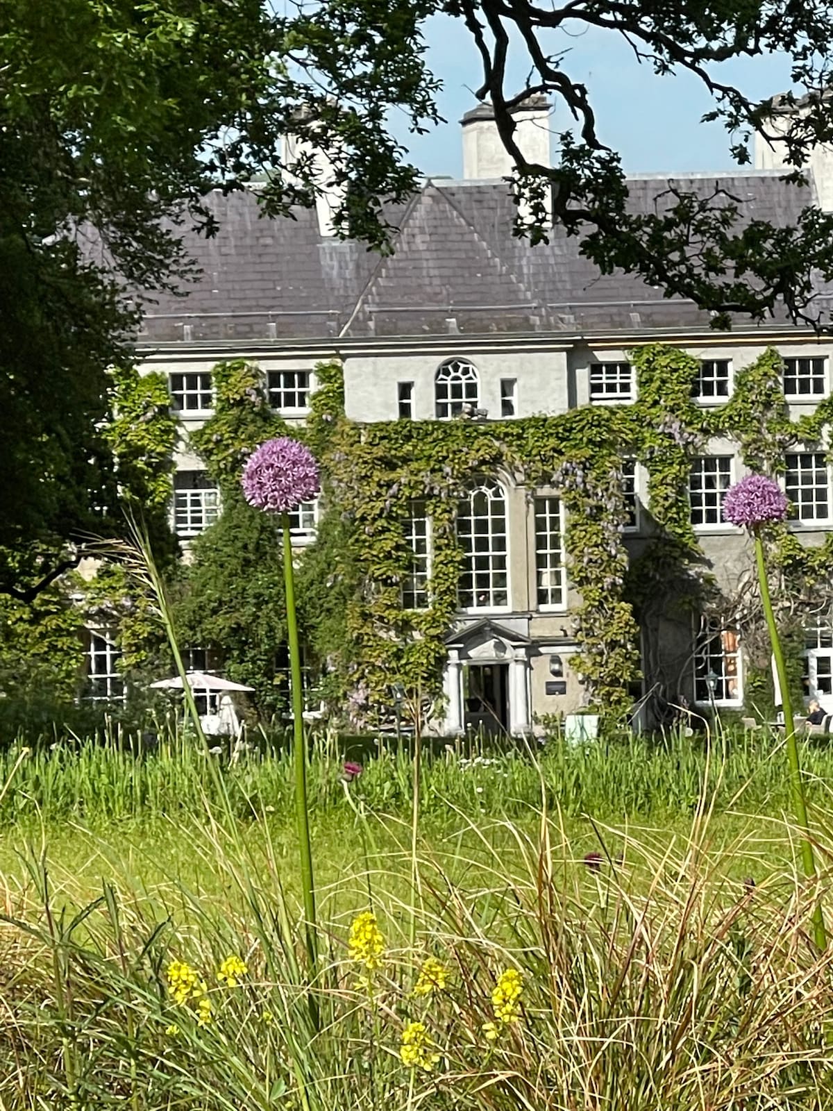 Fulacht fia in KilnagrangeFulacht fia · 1.6 mi
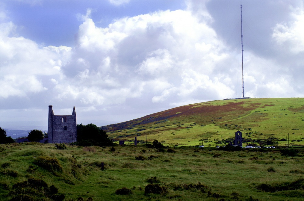 Mine in KnockaturnoryMine · 1.6 mi
 CastleCastle, tower house · 2.1 mi
 Site of Cas.Castle, unclassified · 2.5 mi
 8 Arch GalleryGallery · 2.6 mi
 Whitestown WoodForest · 2.6 mi
 Kilclooney WoodForest · 2.9 mi
 LackaduffMountain / peak · 3.9 mi
 CoumshingaunMountain corrie and lake · 4.1 mi