
What is recorded here
This record was formerly classed as unlocated 'Ecclesiastical remains' in the SMR (1988) with the number (WA007-075----/WA015-061---*). It was listed in the RMP (1995) under record number WA015-061--- and there classified as 'Church Site'. Recorded by Moore (1999, 177, no. 1369) as follows: 'On a SE-facing slope of Croughaun Hill. The church site is located by tradition (Power 1952, 408) to the NE corner of a field where the soil is known to be darker when ploughed. A chamfered door jamb is built into the adjacent road wall.'
Compiled by: Paul Walsh
Date of upload: 03 April 2013
A local church or high cross; wider significance not recorded.
The monument record does not grant public access. Check the route and ask the landowner before entering private land.
- What survives
- Recorded monument
Places near here
 Croughaun HillMountain / peak · 1444 yd
 IndicatedFairy fort / earthen ringfort · 1649 yd
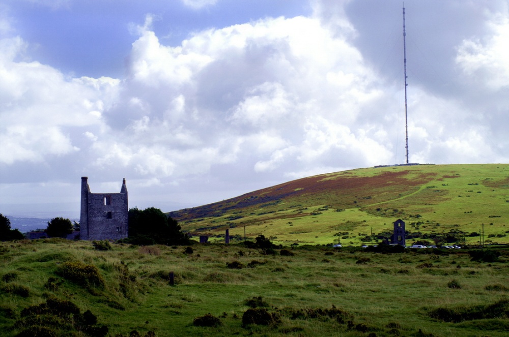 Mine in KnockaturnoryMine · 1.6 mi
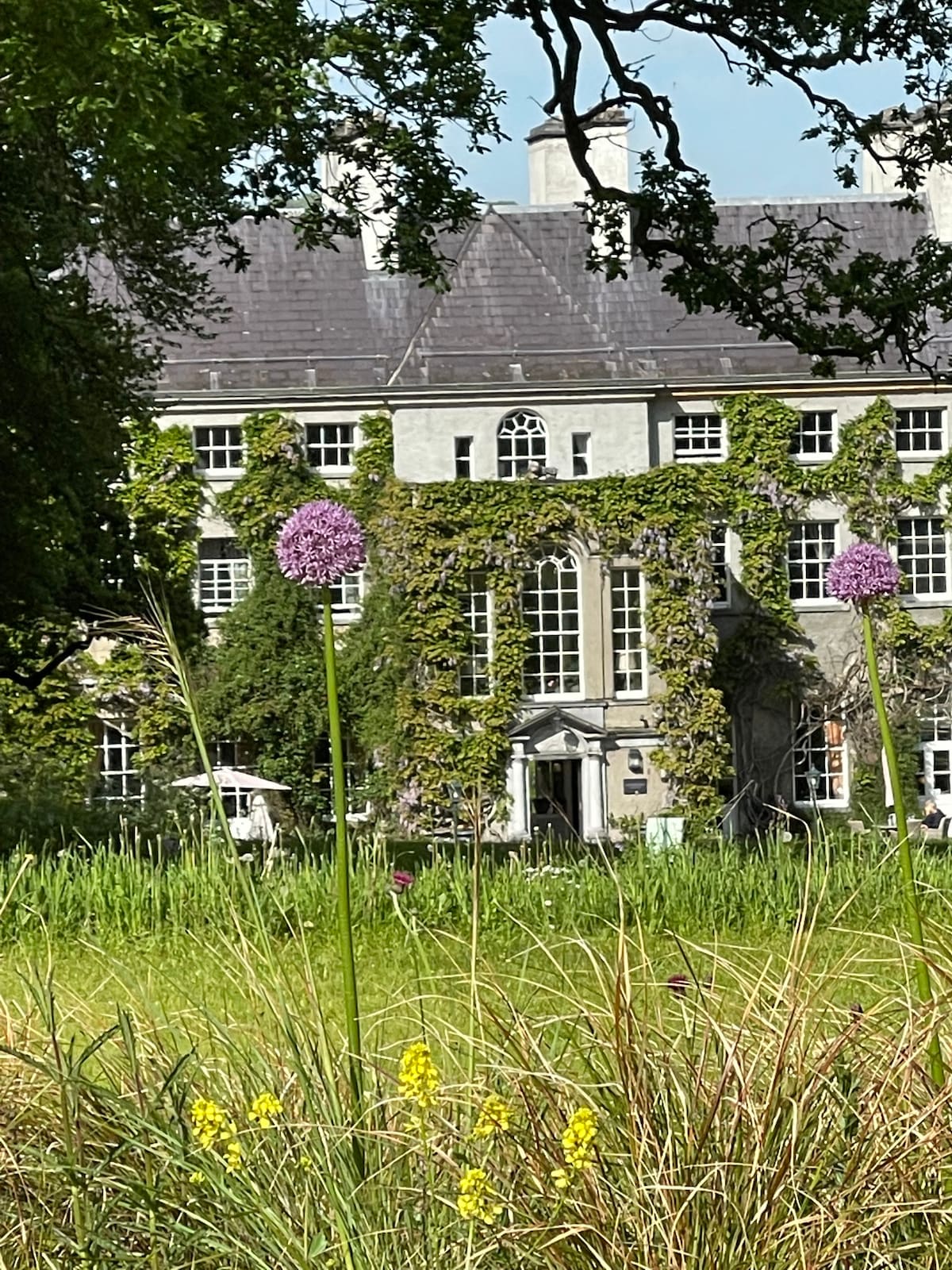 Fulacht fia in KilnagrangeFulacht fia · 1.6 mi
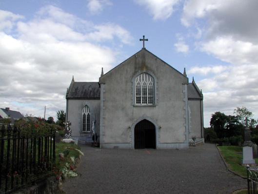 Saint Anne's Catholic ChurchOfficially recorded historic building · 1.8 mi
 CastleCastle, tower house · 2.1 mi
 Site of Cas.Castle, unclassified · 2.5 mi
 8 Arch GalleryGallery · 2.6 mi
 Whitestown WoodForest · 2.6 mi
 Kilclooney WoodForest · 2.9 mi
 LackaduffMountain / peak · 3.9 mi
 CoumshingaunMountain corrie and lake · 4.0 mi
Other information
Photo: Credit not shown in the picture search · Rights wording not checked; contact us if this picture should be removed