
What is recorded here
Situated towards the bottom of an E-facing slope of Croughaun Hill. Subcircular grass-covered area (dims. 35m E-W; 30m N-S) defined by an earthen bank (Wth 4.5-5.5m; int. H 0.6-1.2m; ext. H 0.2m at W to 1.5m at E) N-E-SW, which has been removed elsewhere. An outer fosse or berm (Wth 5-7m) and an external bank, best preserved S-SW (Wth 3m; int. and ext. H 1.3m), also survive NE-SW. The entrance (Wth 2.2m) is at SE, and the interior is eroded by cattle.
The above description is derived from the published 'Archaeological Inventory of County Waterford' (Dublin: Stationery Office, 1999). In certain instances the entries have been revised and updated in the light of recent research.
Compiled by: Michael Moore
Date of upload: 01 November 2010
This remains an important historical record, but the official description says the monument is no longer visible or has been destroyed. The monument record does not grant public access. Check the route and ask the landowner before entering private land.
- What survives
- No visible remains or recorded as destroyed
Places near here
 Croughaun HillMountain / peak · 1363 yd
 Church in KilcanaveeChurch · 1649 yd
 CastleCastle, tower house · 1.1 mi
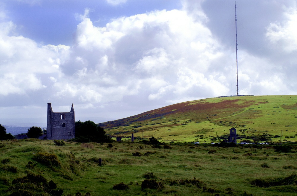 Mine in KnockaturnoryMine · 1.2 mi
 Settlement cluster in Robertstown (decies Without Drum By., Rossduff Par.)Settlement cluster · 1.4 mi
 Ecclesiastical enclosure in KnockaturnoryEcclesiastical enclosure · 1.4 mi
 Whitestown WoodForest · 1.8 mi
 Kilclooney WoodForest · 3.0 mi
 Feddans CastleRuins · 3.2 mi
 8 Arch GalleryGallery · 3.5 mi
 LackaduffMountain / peak · 3.8 mi
 CoumshingaunMountain corrie and lake · 4.0 mi
Other information
Photo: Credit not shown in the picture search · Rights wording not checked; contact us if this picture should be removed