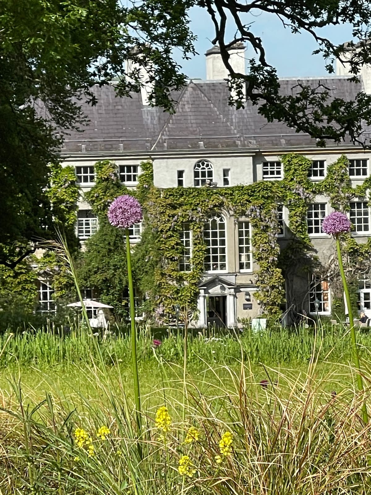
What is recorded here
Situated on a gentle E-facing slope above the W side of a small N-S valley with a N-S stream c. 160m to the E. An oval mound of burnt stones (dims. 27m x 14.5m) was excavated by M. Cahill of NMI in 1979 when evidence of two wooden troughs was recovered (Cahill 1987-8).
The above description is derived from the published 'Archaeological Inventory of County Waterford' (Dublin: Stationery Office, 1999). In certain instances the entries have been revised and updated in the light of recent research.
Date of upload/revision: 23 December 2008
The monument record does not grant public access. Check the route and ask the landowner before entering private land.
- What survives
- Recorded monument
Places near here
 Church (Site of)Ecclesiastical enclosure · 885 yd
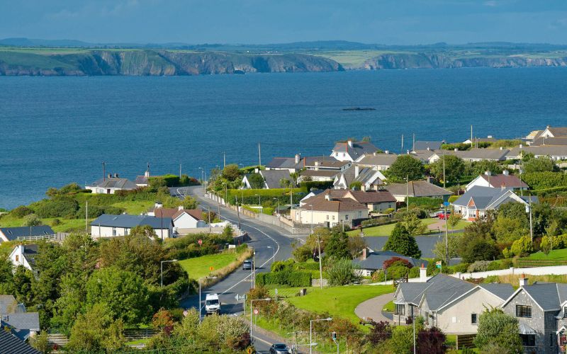 IndicatedFairy fort / ringfort · 1031 yd
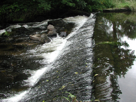 weirweir · 1607 yd
 Saint John's Church (Rossmire)church/chapel · 1633 yd
 Site of Cas.Castle, unclassified · 1734 yd
 8 Arch GalleryGallery · 1.1 mi
 Castle (in ruins)Castle, unclassified · 1.9 mi
 Croughaun HillMountain / peak · 2.4 mi
 Kilclooney WoodForest · 3.8 mi
 Whitestown WoodForest · 4.1 mi
 Magic Road (finish)Heritage attraction · 4.8 mi
 Donnell's HillMountain / peak · 4.8 mi
Other information
Photo: Credit not shown in the picture search · Rights wording not checked; contact us if this picture should be removed