
What is recorded here
Located on poorly drained low-lying land with holy well (OF014-019----) immediately to the E and Church (OF014-017001-) to the N. Known locally as the 'Druids Altar' the site consists of a small sunken circular area (Diam. 6.3m) enclosed by a low stone bank (Wth 1.6m; ext. H 0.6m) with one erect orthostat on the S side of the bank with no evidence of an outer fosse or entrance feature. No evidence of any large stone that may have served as an altar in the interior of the site. May be associated with nearby Holy Well and Church.
The above description is derived from the published 'Archaeological Inventory of County Offaly' (Dublin: Stationery Office, 1997). In certain instances the entries have been revised and updated in the light of recent research.
Date of upload: 23 May 2011
Linked to pre-Christian druidic tradition, the site is associated with ritual practices and possibly fertility or land-related ceremonies. Local folklore refers to it as a place of ancient worship, though no specific saint or cure is connected to the altar.
The monument record does not grant public access. Check the route and ask the landowner before entering private land.
- What survives
- Recorded monument
Places near here
 Mullanakill Church (in Ruins)Church · 216 yd
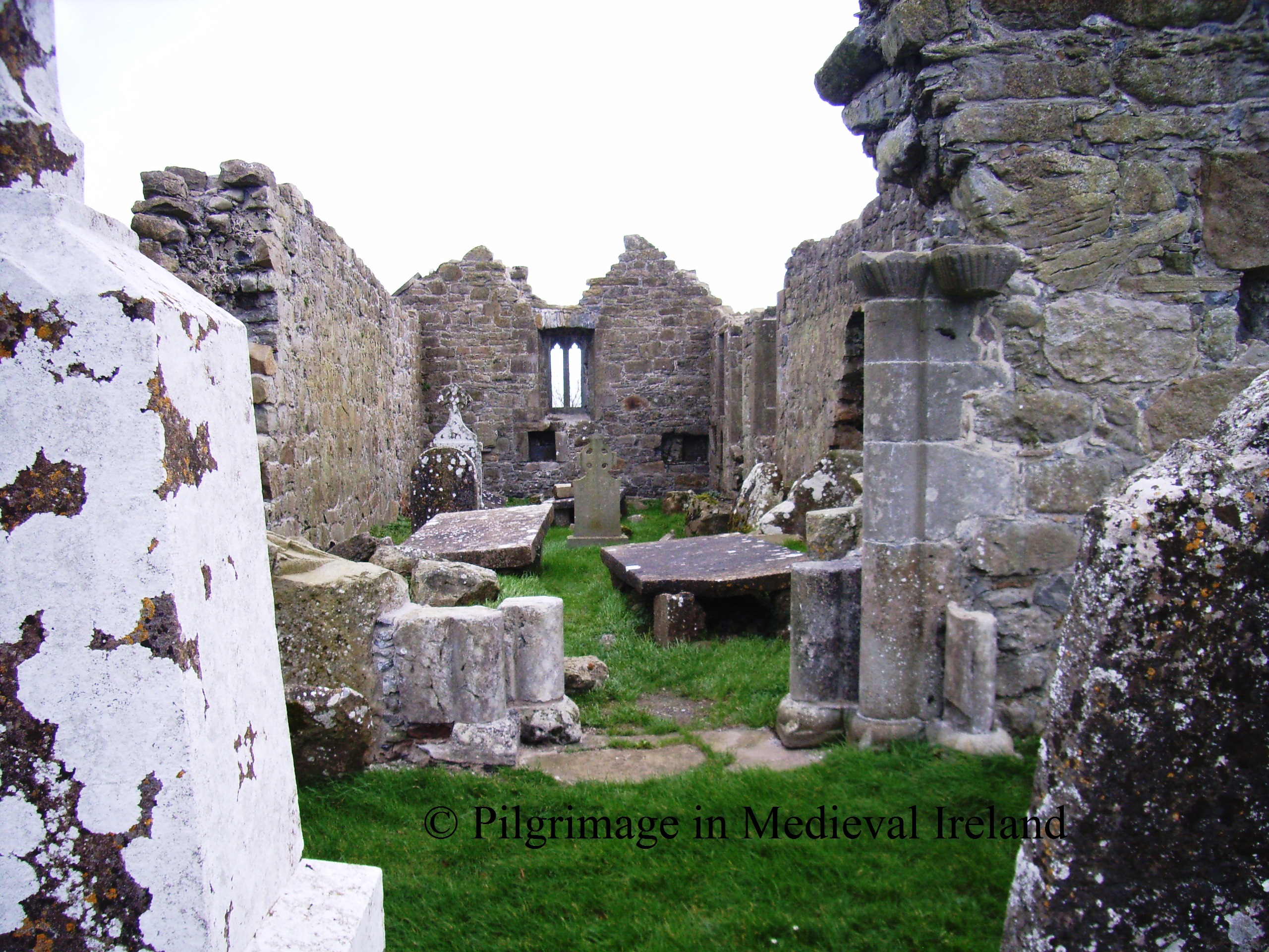 RelicpastiaChildren's burial ground · 299 yd
 Enclosure in Clonlyon GlebeEnclosure · 452 yd
 Clonlyon CastleCastle, tower house · 950 yd
 Site of Faddanmore CastleCastle, unclassified · 1.4 mi
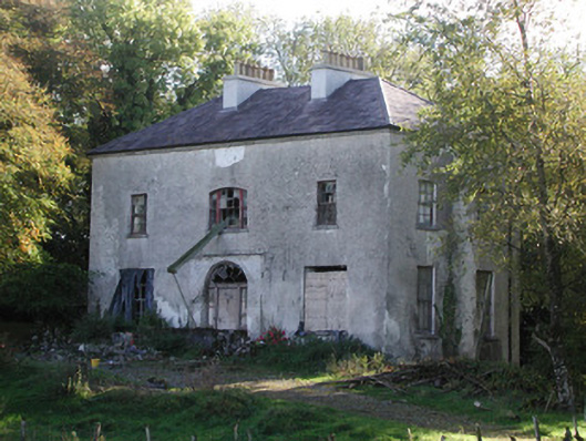 Killagally Parkrectory/glebe/vicarage/curate's house · 1.7 mi
 Endrim HillMountain / peak · 2.0 mi
 Ballylin Bog BoardwalkHeritage attraction · 2.2 mi
 Saint Reaghan's WellSpring · 3.1 mi
 St. Saran's WellSpring · 3.7 mi
 Cloghan HillMountain / peak · 4.2 mi
 Kilbeg WoodWood · 4.5 mi
Other information
Photo: Credit not shown in the picture search · Rights wording not checked; contact us if this picture should be removed