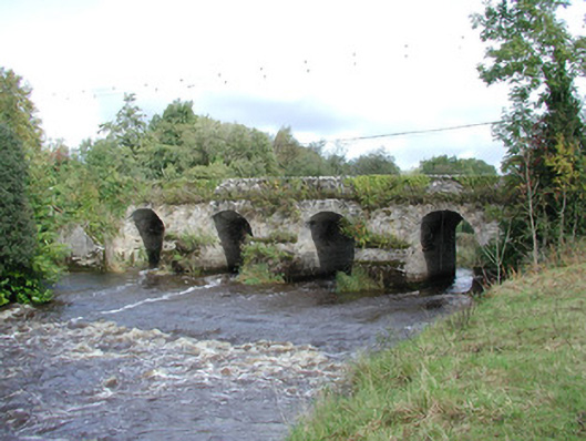
What is recorded here
Five-arch masonry road bridge, built c.1750, carrying a minor road to Belmont over the River Brosna. Thick piers and dressed rubble voussoirs to arches, random coursed walls with roughly cut stone parapet. V-shaped cutwaters to upstream elevation. Square-shaped pedestrian refuges at road level to north-east wall. Semicircular profile arches. Upstream diagonally set weir which diverts water to Belmont Mill. Headrace flow through two smaller segmental arches at north end of the bridge. Located near the 33rd lock on the Grand Canal.
Belmont Bridge, on the River Brosna, is a finely executed crossing with notable eighteenth-century construction features which include pedestrian refuges or step-ins and relatively thick piers. It was formerly spelled Bellmount Bridge. V-shaped cutwaters and the nearby weir are notable elements. The purpose of the upstream cutwaters is to create a smooth flow and thus minimise eddies which may cause scouring and undercutting of the abutments and piers on the downstream side. It is one of the five five-arched bridges in County Offaly.
This does not grant access. Most recorded buildings are privately owned; view them only from public ground unless the owner allows entry.
Places near here
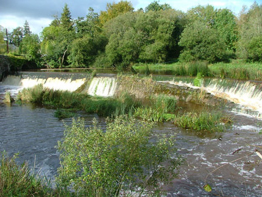 weirweir · 41 yd
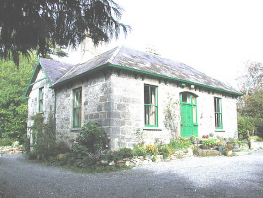 Belmont Cottagemiller's house · 121 yd
 Site of Bellmount CastleCastle, unclassified · 524 yd
 Site of Faddanmore CastleCastle, unclassified · 1168 yd
 Glebe Ho.Ecclesiastical site · 1647 yd
 Graveslab in SmithstownGraveslab · 1690 yd
 St. Saran's WellSpring · 2.2 mi
 Cloghan HillMountain / peak · 2.3 mi
 Lug Holy WellSpring · 3.0 mi
 Ballylin Bog BoardwalkHeritage attraction · 3.1 mi
 Kilbeg WoodWood · 3.1 mi
 LehinchIsland · 3.8 mi
Other information
Photo: National Inventory of Architectural Heritage · Website use allowed for educational or private purposes with source credit