
What is recorded here
Bellmount Castle vanished before human memory, leaving only a cartographic ghost on Down Survey maps from 1655-6. The site in County Offaly hides its walls beneath soil and silence, denying the boot and lens alike. What remains is a coordinate without a shape, a castle reduced to the certainty that it existed.
Not visible at ground level. Marked on the Down Survey (1655-6) maps.
The above description is derived from the published 'Archaeological Inventory of County Offaly' (Dublin: Stationery Office, 1997). In certain instances the entries have been revised and updated in the light of recent research.
Date of upload: 23 May 2011
Built or held in the 17th century, likely by a local Gaelic or Anglo-Irish family, Bellmount Castle is remembered for its historical presence in the landscape, evidenced by its marking on the Down Survey maps of 1655–56, which reflect landownership and settlement patterns following the Cromwellian conquest.
The monument record does not grant public access. Check the route and ask the landowner before entering private land.
- What survives
- Recorded monument
Places near here
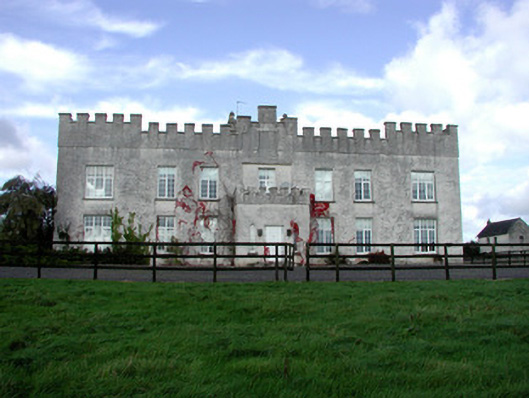 Belmont Housecountry house · 138 yd
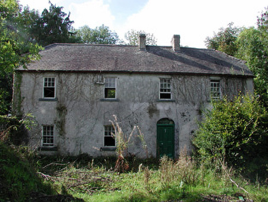 Belmont Millsmill manager's house · 365 yd
 Site of Faddanmore CastleCastle, unclassified · 1288 yd
 Burial in Faddan BegBurial · 1474 yd
 Enclosure in CamusEnclosure · 1595 yd
 Clonony CastleCastle, tower house · 1.4 mi
 St. Saran's WellSpring · 1.9 mi
 Cloghan HillMountain / peak · 2.4 mi
 Kilbeg WoodWood · 2.8 mi
 Lug Holy WellSpring · 3.1 mi
 Ballylin Bog BoardwalkHeritage attraction · 3.4 mi
 LehinchIsland · 3.5 mi
Other information
Photo: Credit not shown in the picture search · Rights wording not checked; contact us if this picture should be removed