
What is recorded here
Internal diam. c. 20m. A circular area enclosed by a collapsed stone wall, up to .5m in height on the W side. The E side has been partially quarried away and in places survives only as a line of stones. On the W side adjoining, the cashel wall is a circular collapsed stone foundation (DG017-022002-) c. 5m in diameter but it is not certain that this is an original feature of the site. The rest of the interior is level but is over-grown. The site is located on a prominent rise with agricultural land around its base.
The above description was derived from the 'Archaeological Survey of County Donegal. A description of the field antiquities of the County from the Mesolithic Period to the 17th century.' Compiled by: Brian Lacey with Eamon Cody, Claire Cotter, Judy Cuppage, Noel Dunne, Vincent Hurley, Celie O'Rahilly, Paul Walsh and Seán Ó Nualláin (Lifford: Donegal County Council, 1983). In certain instances the entries have been revised and updated.
Date of upload: 22 September 2008
A local fairy fort (ringfort/rath); wider significance not recorded.
The monument record does not grant public access. Check the route and ask the landowner before entering private land.
- What survives
- Recorded monument
Places near here
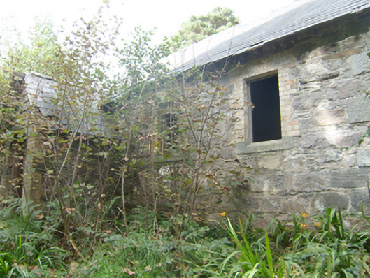 Manor Vaughan National Schoolschool · 335 yd
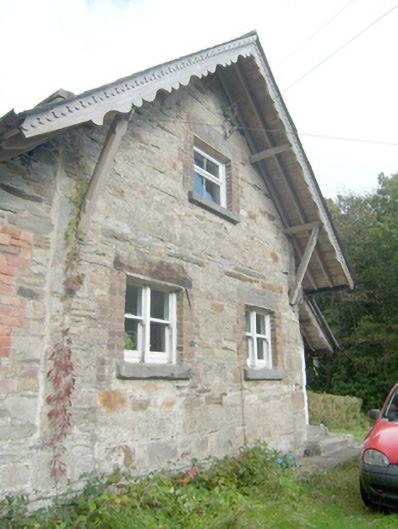 Manor Vaughan Schoolmaster's Houseworker's house, school master's house, house · 383 yd
 Font in Carraig AirtFont · 1.3 mi
 Former Umrycam Ridge EnclosureEnclosure · 1.8 mi
 Moross CastleCastle, tower house · 2.3 mi
 Àn Trá MorBeach / strand · 3.1 mi
 DowningsOfficial bathing water · 3.4 mi
 Cranberry IslandIslet · 3.8 mi
 Monterey PineMonterey Pine · 4.1 mi
 Monterey CypressMonterey Cypress · 4.1 mi
 Ards Friary Coastal LoopOfficial walking route · 4.2 mi
 Cliffs at Lamb's IslandPublicly named cliff or headland · 4.4 mi
Other information
Photo: Credit not shown in the picture search · Rights wording not checked; contact us if this picture should be removed