
What is recorded here
Annotated 'Abbey Well' on the 1837 ed. OSi 6-inch map where it is marked 70m to the S of Cork Abbey (DU026-068001-), in the parish of Oldconnaught. Annotated 'Well' on the 1863 ed. OSi 25-inch map. The 1837 Ordnance Survey Letters described the Abbey Well as a fine spring well, encased in brick and vaulted (O'Flanagan ed. 1927, 32). The site is E of Oldconnaught Village on the Bray coastline. There is a housing estate on the site today and there is no visible trace of the holy well.
Compiled by: Geraldine Stout and Padraig Clancy.
Revised by: Caimin O'Brien
Date of revised upload: 21 April 2023
Linked to Saint Finbarr, the well is traditionally associated with healing and pilgrimage, particularly for curing eye ailments. It is believed to have been a site of monastic activity and veneration in the medieval period.
This remains an important historical record, but the official description says the monument is no longer visible or has been destroyed. The monument record does not grant public access. Check the route and ask the landowner before entering private land.
- What survives
- No visible remains or recorded as destroyed
Places near here
 Corke Abbey (on site of abbey)Church · 93 yd
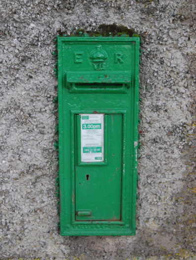 post boxpost box · 377 yd
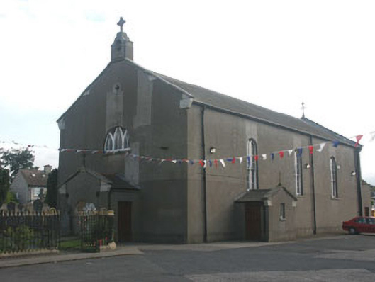 Saint Peter's Catholic Churchchurch/chapel · 413 yd
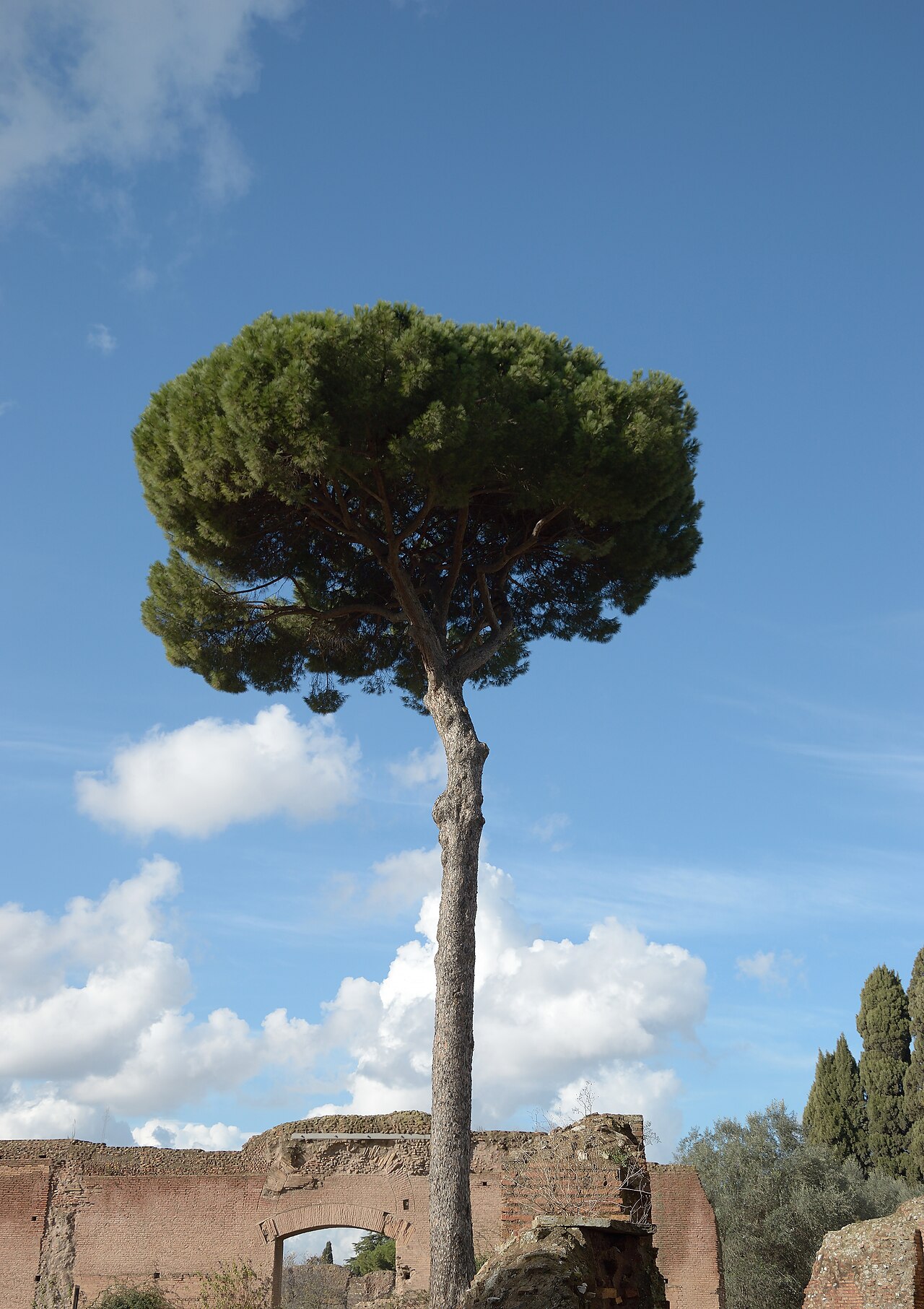 Stone PineStone Pine · 420 yd
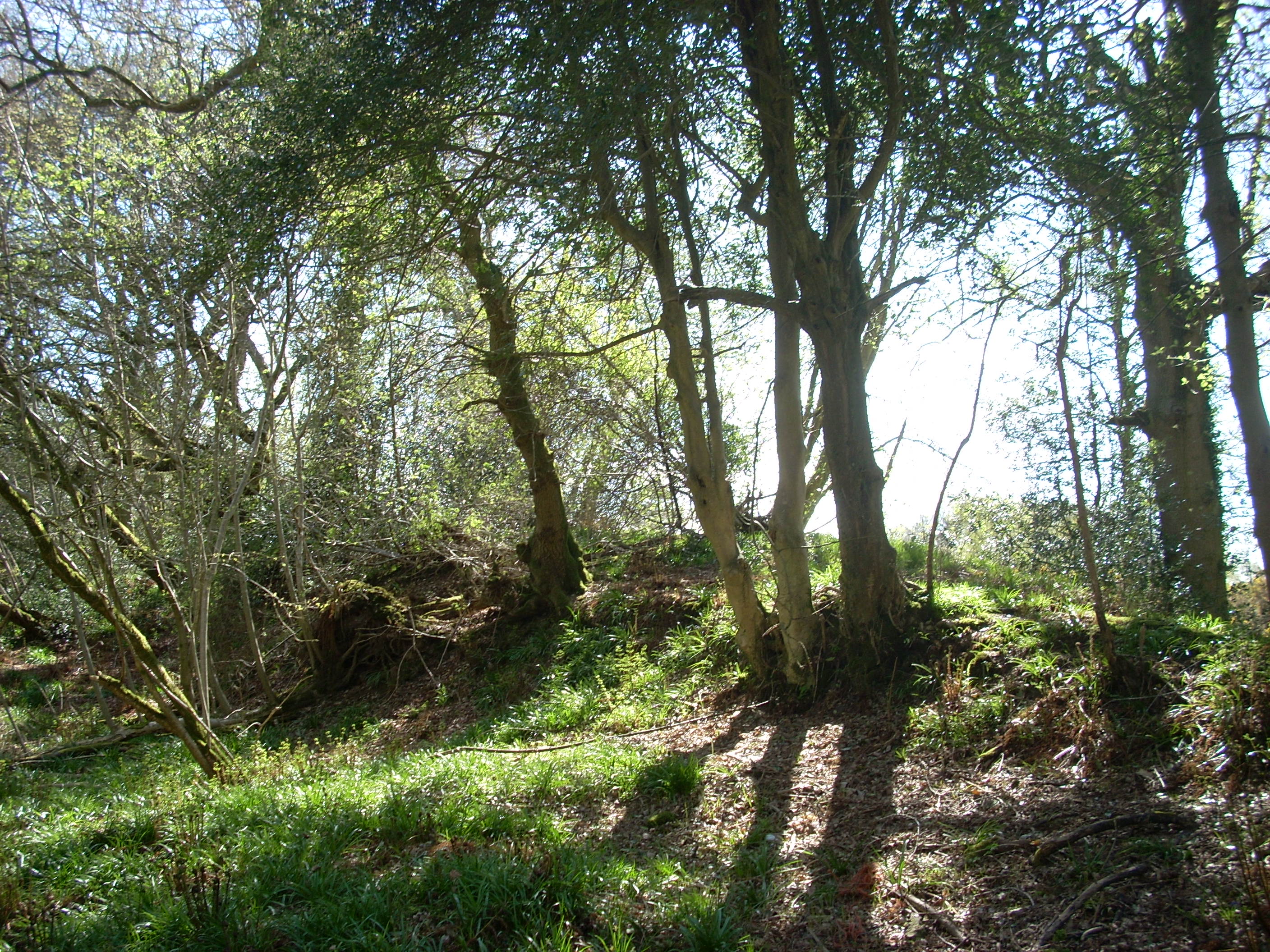 Linear earthwork in Cork GreatLinear earthwork · 500 yd
 Cas.Castle, tower house · 549 yd
 Christopher ThompsonMemorial · 771 yd
 European YewEuropean Yew · 777 yd
 St. James GateVisitor information · 1491 yd
 Naylor's CoveBeach / strand · 1.5 mi
 Graveyard in BallymanGraveyard · 1.7 mi
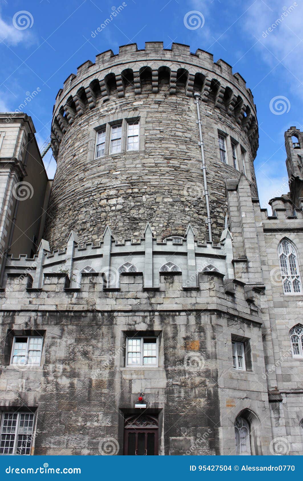 CastleCastle, tower house · 1.7 mi
Other information
Photo: Credit not shown in the picture search · Rights wording not checked; contact us if this picture should be removed