
What is recorded here
Situated on elevated pasture at N end of N-S ridge overlooking Lough Owel 300m to the SW. Only the NW angle (approx. L 0.7m x H 1.7m) of the church (approx. ext. dims. 16m E-W x 6m N-S) survives upstanding, elsewhere the outline of the building is indicated by low ivy-covered wall footings visible in the centre of a sub-circular-shaped graveyard (WM012-086001-). Ringfort (WM012-087----) 60m to E with a second ringfort (WM012-098----) 70m to SW. The NW angle of the church was constructed with alternating long and short quoins with no dressed stone visible. Described in 1980 as following; ‘The grass covered wall footings of a rectangular building measuring approx. 14m by 7m. There is no obvious sign of an internal division into nave and chancel. No decorated or cut stones are visible’ (SMR File 23/10/1980). In 1978 the NW corner of the church was described as still standing to a height of c. 3m and covered with ivy (SMR File 14/08/1978). The terrier of the 1656-9 Down Survey parish map of Portnashangan recorded that there was ‘at Portnesangan the Walls of a Church’ (NLI MS 723-4). In 1631 David Thomas was presented to the rectory of Castlecor and vicarages of Portneshangan and Raconnell’ (Cal. pat. rolls Ire., Chas I, 577). According to Woods (1907, 81) ‘the old church measures forty feet (12m) by seventeen (5m)’.
Compiled by: Caimin O’Brien
Date of upload: 20 August 2015
A local church or high cross; wider significance not recorded.
The monument record does not grant public access. Check the route and ask the landowner before entering private land.
- What survives
- Recorded monument
Places near here
 CastleCastle, motte · 124 yd
 OutlinedFairy fort / earthen ringfort · 402 yd
 IndicatedFairy fort / earthen ringfort · 417 yd
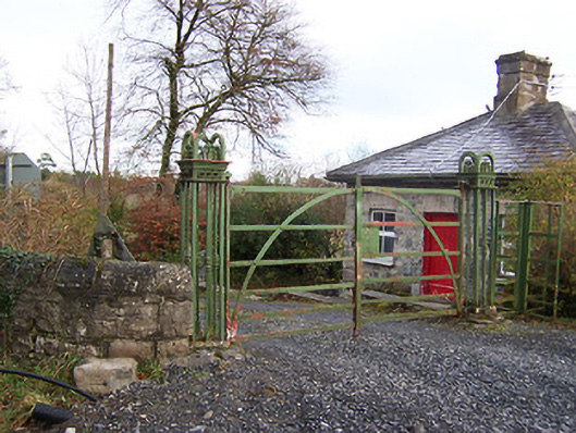 Ardilaun Houselevel crossing, gates/railings/walls · 586 yd
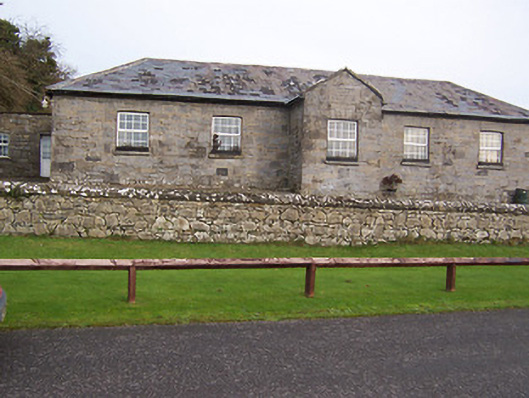 Ballynafid National Schoolschool · 1110 yd
 Scragh Bog Nature ReserveNature reserve · 1.1 mi
 Church IslandIsland · 1.4 mi
 Carrickphilbin IslandIslet · 1.7 mi
 Nugent's CastleCastle · 1.8 mi
 Lady's IslandWood · 1.9 mi
 Bridge Memorial (Kenna)Memorial · 2.8 mi
 Saint Brigid's WellSpring · 2.9 mi
Other information
Photo: Credit not shown in the picture search · Rights wording not checked; contact us if this picture should be removed