What is recorded here
Situated on the S face of a hill in grassland, with good views overlooking Lough Owel 700m to S & W. Kilpatrick Well (WM011-074---) 165m to SW. A large sub-circular shaped area (approx. diam. 44m N-S) enclosed by two substantial earth and stone banks and an intervening wide deep fosse, with a slight external fosse. The inner bank has disturbance gaps at W & ESE and is almost completely levelled from S-SW. The external fosse is only visible at N. There is an entrance at NNE, represented by a gap (Wth 4m) in the inner bank, a causeway (Wth 6.6m; H 0.45m) across the fosse and a gap (Wth 4.8m) through the outer bank. Vague traces of cultivation ridges are visible running N-S across the interior. A stream running N-S which forms the townland boundary with Clanhugh Demesne intersects the site at SE. The remains of a field boundary running NE-SW intersects the site at W, and another field boundary running WNW-ESE intersects the perimeter from S-SW. Outline of monument clearly visible on aerial photograph taken by Cambridge University in 1968 (CUCAP AVO054).
Compiled by: Frank Coyne and Caimin O'Brien
Date of upload: 23 August 2017
The monument record does not grant public access. Check the route and ask the landowner before entering private land.
- What survives
- Recorded monument
Places near here
 Kilpatrick WellHoly well · 218 yd
 Partially hachuredFairy fort / earthen ringfort · 551 yd
 Clonhugh Housecountry house · 715 yd
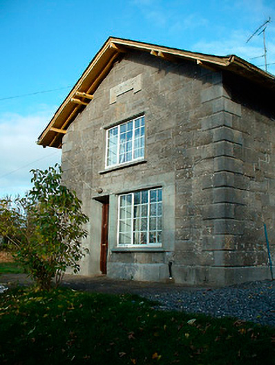 Clonhugh Railway Stationrailway station · 969 yd
 CastleCastle, unclassified · 1.6 mi
 Castle Quarter, Castle (in ruins)Castle, unclassified · 1.7 mi
 Bridge Memorial (Kenna)Memorial · 2.0 mi
 Carrickphilbin IslandIslet · 2.4 mi
 Scragh Bog Nature ReserveNature reserve · 2.5 mi
 Church IslandIsland · 2.7 mi
 Lady's IslandWood · 3.2 mi
 WestmeathVisitor information · 5.1 mi