
What is recorded here
Situated on wet grass-land. Lough Owel 500m to SW. Ringfort (WM011-072----) 240m to SW. Ringfort (WM011-073---) 165m to NE. Depicted on the 1837 ed. OS 6-inch map to the S of a complex of buildings and annotated ‘Kilpatrick Well’. A pump house now stands at this location. No votive offerings visible around the spring and no indication now that it was venerated as a holy well. Only the name indicates that this was possibly the site of a holy well dedicated to St. Patrick.
Compiled by: Frank Coyne and Caimin O'Brien
Date of upload: 24 August 2017
Linked to Saint Patrick, the well is traditionally associated with healing and protection, with pilgrims visiting to seek cures for various ailments. The site's proximity to early medieval ringforts suggests a long history of spiritual and communal significance in the local landscape.
The monument record does not grant public access. Check the route and ask the landowner before entering private land.
- What survives
- Recorded monument
Places near here
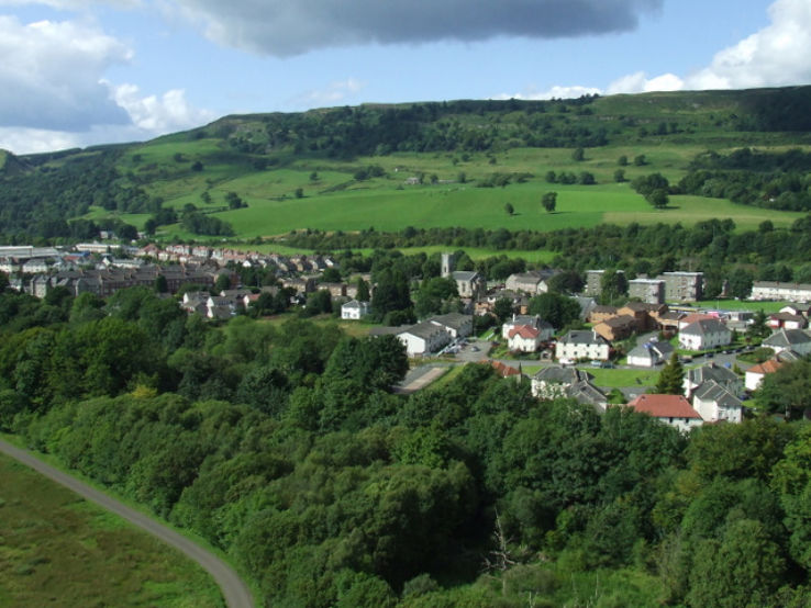 Partially hachuredFairy fort / earthen ringfort · 370 yd
 Clonhugh Housecountry house · 697 yd
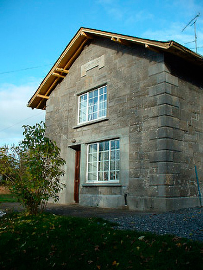 Clonhugh Railway Stationrailway station · 1157 yd
 Sweathouse in Clanhugh DemesneSweathouse · 1373 yd
 IndicatedBawn · 1.6 mi
 Castle Quarter, Castle (in ruins)Castle, unclassified · 1.6 mi
 Bridge Memorial (Kenna)Memorial · 2.1 mi
 Carrickphilbin IslandIslet · 2.3 mi
 Scragh Bog Nature ReserveNature reserve · 2.5 mi
 Church IslandIsland · 2.7 mi
 Lady's IslandWood · 3.2 mi
 WestmeathVisitor information · 5.0 mi
Other information
Photo: Credit not shown in the picture search · Rights wording not checked; contact us if this picture should be removed