What is recorded here
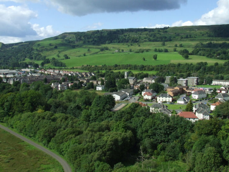
Situated on the W face of a hill in grassland with good views to the S. Ringfort (WM011-066----) 170m to NW. Ringfort (WM011-067----) 180m to NNE. A sub-circular shaped area (approx. diam. 26m NW-SE) enclosed by a very poorly preserved earthen bank. This bank is only visible from SSE-S, and levelled down to a scarp elsewhere. The interior has general slope from ENE-WSW and has vague suggestions of cultivation ridges running ENE-WSW also. A tree plantation encroaches on the E side of the site. The site appears to have been levelled since last site inspection as there are no surface remains visible of this monument on Digital Globe aerial photograph taken November 2011.
Compiled by: Frank Coyne and Caimin O'Brien
Date of upload: 23 August 2017
The monument record does not grant public access. Check the route and ask the landowner before entering private land.
- What survives
- Recorded monument
Places near here
 Partially hachuredFairy fort / earthen ringfort · 220 yd
 Kilpatrick WellHoly well · 370 yd
 Clonhugh Housecountry house · 1030 yd
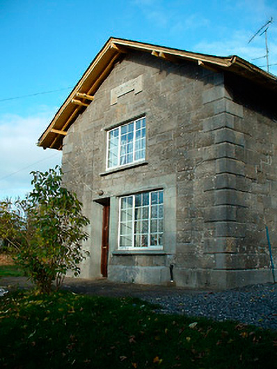 Clonhugh Railway Stationrailway station · 1217 yd
 Castle Quarter, Castle (in ruins)Castle, unclassified · 1.6 mi
 CastleCastle, unclassified · 1.6 mi
 Bridge Memorial (Kenna)Memorial · 2.0 mi
 Carrickphilbin IslandIslet · 2.5 mi
 Scragh Bog Nature ReserveNature reserve · 2.7 mi
 Church IslandIsland · 2.9 mi
 Lady's IslandWood · 3.4 mi
 WestmeathVisitor information · 5.1 mi
Other information
Photo: Credit not shown in the picture search · Rights wording not checked; contact us if this picture should be removed