What is recorded here
Situated on a low natural rise in well drained grassland with wide views from W-N. Depicted on the revised 1911 ed. OS 25 inch map as a rectangular building aligned E-W with rectangular shaped field immediately to N that is depicted on the 1837 ed. OS 6-inch map. On this map a field boundary or wall runs runs W from…
Read the whole record
From the National Monuments Service (Archaeological Survey of Ireland) record WM011-097001
Places near here
Photo credits
- Maker not stated on source page, www.irishstar.com
- Individual drone photographer not stated on club homepage, www.bunbrosna.com
- National Inventory of Architectural Heritage
- Maker not stated on source page, www.pinterest.com
- Maker not stated on source page, www.dreamstime.com
- Maker not stated on source page, ph.pinterest.com
 Piercefield CastleHouse, fortified house · 1 yd
Explorer Tom Piercefield Castle in Templeoran has very strong opinions on modern buildings and thinks glass offices look like…
 Bunbrosna GAA pitchGAA ground · 70 yd
 outbuilding603 yd
Explorer Tom The outbuildings in Piercefield are guarding a ditch where a local poet once fell in love with a puddle and wrote a…
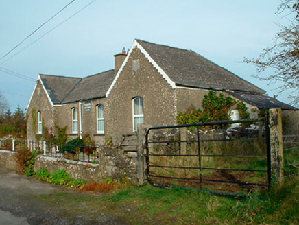 Balrath National SchoolSchool · 1099 yd
Explorer Tom Balrath National School is secretly proud of a potato it buried in the garden in 1890 and has never admitted was…
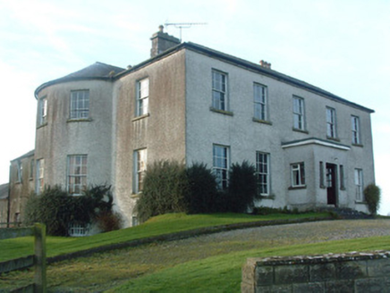 Mount Murray HouseCountry house · 1650 yd
Explorer Tom Mount Murray House was built on a bargain where Alexander Murray got a nice view for very little cash. Now it sits on a…
 Fairy fort / earthen ringfort in Monroe or Johnstown (nugent)Fairy fort / earthen ringfort · 1654 yd
Explorer Tom Fairy fort / earthen ringfort in Monroe or Johnstown is proud of its double bank system, even though both have been…
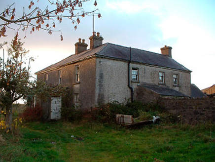 Johnstown HouseHouse · 1.1 mi
Explorer Tom Johnstown House has a hidden message written in its stones if you squint hard enough. It’s basically just saying 'I’m…
 Linear earthwork in Monroe,wattstownLinear earthwork · 1.2 mi
Explorer Tom Linear earthwork in Monroe, Wattstown has strict rules for visitors: no dogs, no noise, and definitely no touching the…
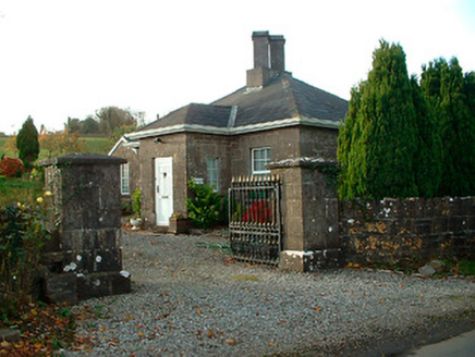 Rathbennett HouseGate lodge · 1.4 mi
Explorer Tom Rathbennett House gate lodge has had more names than I have ex-girlfriends, and none of them fit well. It lost its…
 Fairy fort / ringfort in Sonna DemesneFairy fort / ringfort · 1.5 mi
Explorer Tom Fairy fort / ringfort in Sonna Demesne has an imaginary twin across the sea that never wrote back. It’s just a low rise…
 Graveyard in Tristernagh DemesneGraveyard · 1.6 mi
Explorer Tom Graveyard in Tristernagh Demesne has made a New Year's resolution to stop being so mysterious and start showing off its…
 Flat cemetery in Sonna DemesneFlat cemetery · 1.8 mi
Explorer Tom Flat cemetery in Sonna Demesne is currently being managed by a dog who definitely knows more about burial rights than…
More castles and forts in County Westmeath · All of County Westmeath

What do you know about this place?Tap to add a comment or ask a question