
What is recorded here
The townland boundary running NW-SE between Monroe and Wattstown consists of an earth and stone bank (max. H 1.5m; max. Wth 3m) with a deep fosse (max. W 2m) on the NE side, and a narrower fosse on the SW side. A pencil note marked on OS map in paper file suggests that this stretch of townland boundary may have formed…
Read the whole record
From the National Monuments Service (Archaeological Survey of Ireland) record WM011-134
Places near here
Photo credits
- Maker not stated on source page, www.pinterest.com
- Maker not stated on source page, letsgowiththechildren.co.uk
- National Inventory of Architectural Heritage
- Maker not stated on source page, www.dreamstime.com
- Maker not stated on source page, commons.wikimedia.org
- Maker not stated on source page, en.wikipedia.org
- Individual drone photographer not stated on club homepage, www.bunbrosna.com
- Maker not stated on source page, www.irishstar.com
- Maker not stated on source page, www.tripadvisor.ca
- Maker not stated on source page, ph.pinterest.com
 Fairy fort / earthen ringfort in Monroe or Johnstown (nugent)Fairy fort / earthen ringfort · 997 yd
Explorer Tom Fairy fort / earthen ringfort in Monroe or Johnstown is proud of its double bank system, even though both have been…
 Fairy fort / earthen ringfort in PortlomanFairy fort / earthen ringfort · 1001 yd
Explorer Tom Fairy fort / earthen ringfort in Portloman would survive a zombie attack by simply standing still and letting them trip…
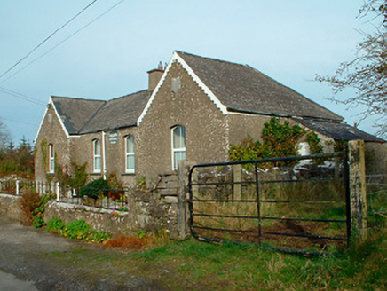 Balrath National SchoolSchool · 1142 yd
Explorer Tom Balrath National School is secretly proud of a potato it buried in the garden in 1890 and has never admitted was…
 Standing stone in PortlomanStanding stone · 1152 yd
Explorer Tom Standing stone in Portloman was run by a matchmaker who paired it off with a bowl-barrow but then vanished without a…
 Cross-inscribed stone in PortlomanCross-inscribed stone · 1327 yd
Explorer Tom Cross-inscribed stone in Portloman would post a status update about its incised rectangles saying 'living my best life'…
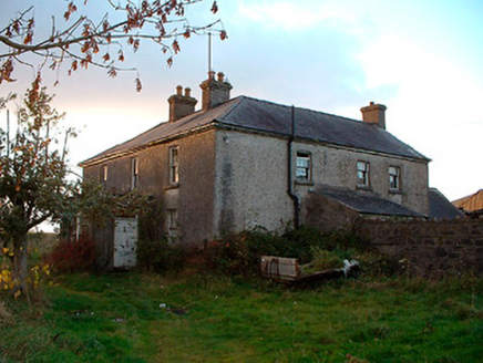 Johnstown HouseHouse · 1.0 mi
Explorer Tom Johnstown House has a hidden message written in its stones if you squint hard enough. It’s basically just saying 'I’m…
 Earthwork in Johnstown (moygoish By.)Earthwork · 1.1 mi
Explorer Tom Earthwork in Johnstown hosted a dance that went on so long the dancers forgot how to stop, and now it’s just a flat…
 Bunbrosna GAA pitchGAA ground · 1.2 mi
 Piercefield CastleHouse, fortified house · 1.2 mi
Explorer Tom Piercefield Castle in Templeoran has very strong opinions on modern buildings and thinks glass offices look like…
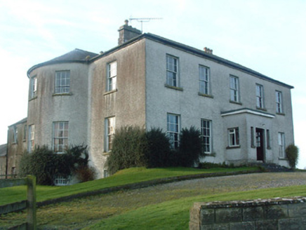 Mount Murray HouseCountry house · 1.4 mi
Explorer Tom Mount Murray House was built on a bargain where Alexander Murray got a nice view for very little cash. Now it sits on a…
 Sonna Church CemeteryCemetery · 1.7 mi
Explorer Tom Sonna Church Cemetery is absolutely sick of people asking if they can 'just pop in' without checking the gate. I reckon…
 Flat cemetery in Sonna DemesneFlat cemetery · 1.8 mi
Explorer Tom Flat cemetery in Sonna Demesne is currently being managed by a dog who definitely knows more about burial rights than…
More archaeology and monuments in County Westmeath · All of County Westmeath

What do you know about this place?Tap to add a comment or ask a question